In 1989, thirty-seven years ago, I drove the Stewart–Cassiar Highway (Hwy 37) for the first time, heading from Fredericton, New Brunswick, to Inuvik, Northwest Territories, in a little Toyota Corolla. The highway was still a gravel road back then.
Just past 40 Mile Flats, we had an accident. While trying to avoid a porcupine, we went into a skid and, seconds later, ended up in the ditch. It was the middle of the night.
We were incredibly lucky. Although this was a very remote area, two vehicles passed by and both stopped to help. The first was a truck carrying First Nations people. Shortly afterward, another pickup truck arrived with a lone driver. He suggested taking us to 40 Mile Flats for the night and dealing with our car the next day. We agreed.
That is when I learned just how amazing Toyotas are. The next morning, our Corolla was pulled out of the ditch. Stephen turned the key, and, as if by magic, the engine started. We continued our journey, made it all the way to Inuvik, and eventually returned home to Fredericton.
Who would have guessed that I would be driving this road again decades later? It was no surprise that I wanted to stop at 40 Mile Flats. I had such vivid memories of this place. One thing that surprised me was how much more mountainous the area seemed than I remembered.
So far, Chester and I hadn’t been able to find a hike along the Stewart-Cassiar Highway. The forest is so dense here that you almost need a machete to get anywhere. And lots of time. Then, unexpectedly, Chester spotted two old resource roads, both near 40 Mile Flats. They gave us access to the only two peaks we reached along this highway.
Ehahcezetle Mountain had previously been climbed from the Stewart-Cassiar Highway side by Lupe!, whose GPS track is available on Peakbagger. It looked like a route involving a great deal of bushwhacking. After studying the maps and satellite imagery, we decided to try a different approach by accessing the mountain from the road leading toward Spatsizi Wilderness Provincial Park. It appeared that we would have about 200 metres of steep bushwhacking before reaching more open terrain for the remainder of the climb to the summit. We started our hike at 11 am. Ahead of us was 1000 meters elevation gain.
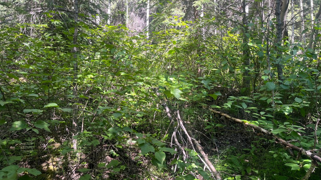
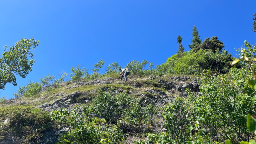
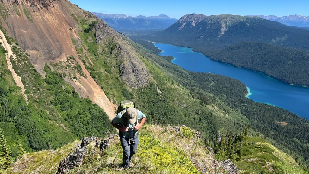
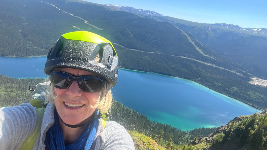
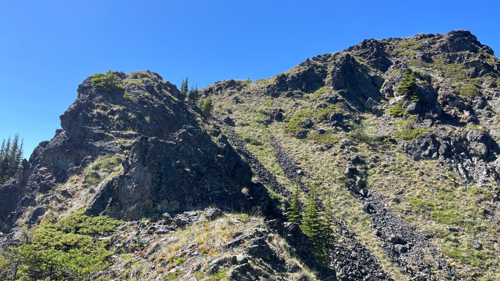
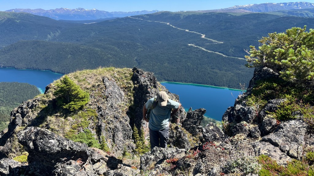
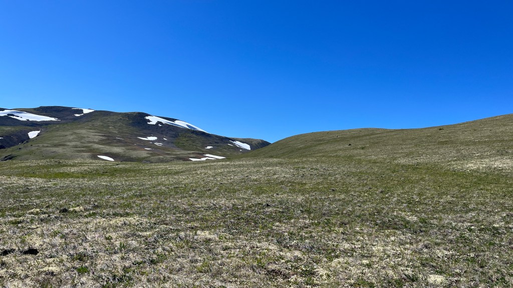
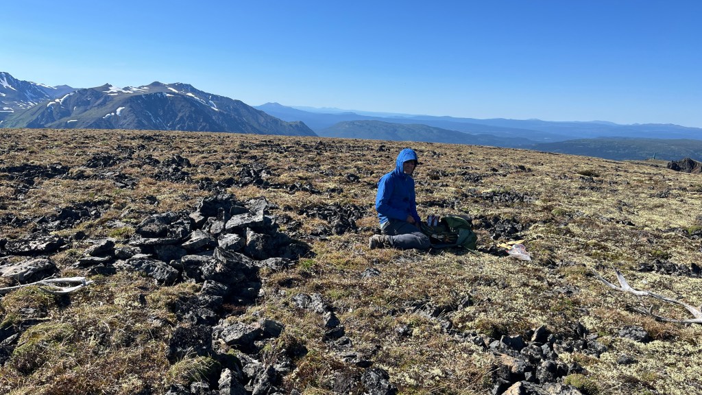
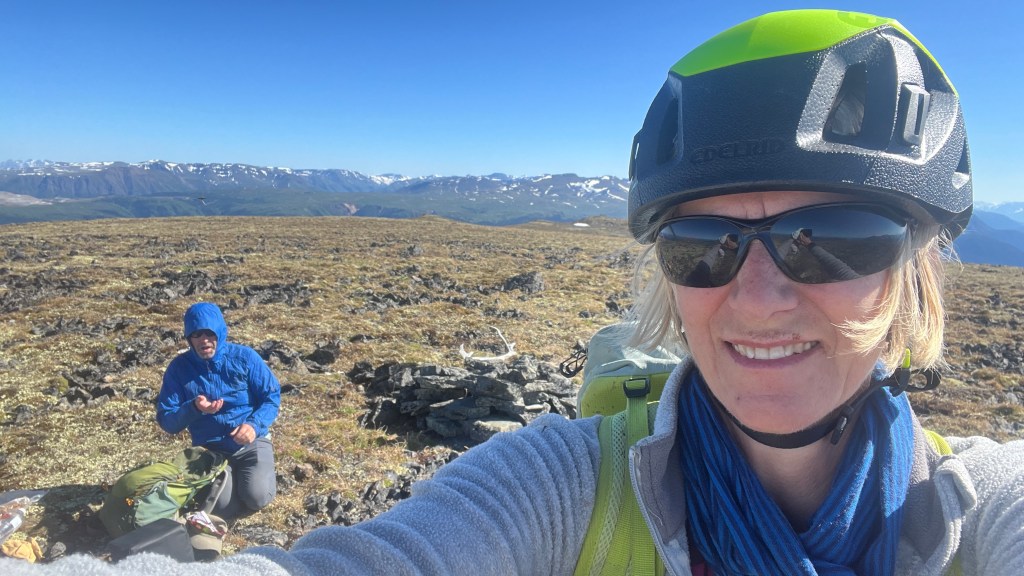
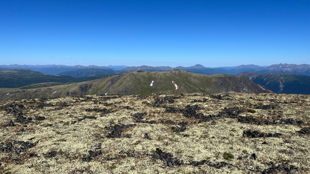
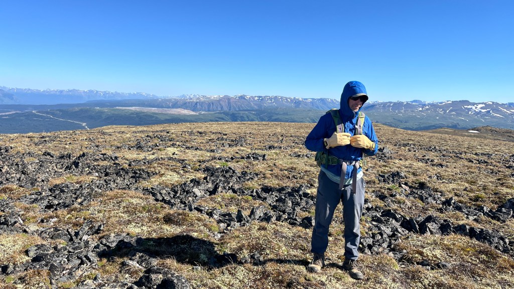
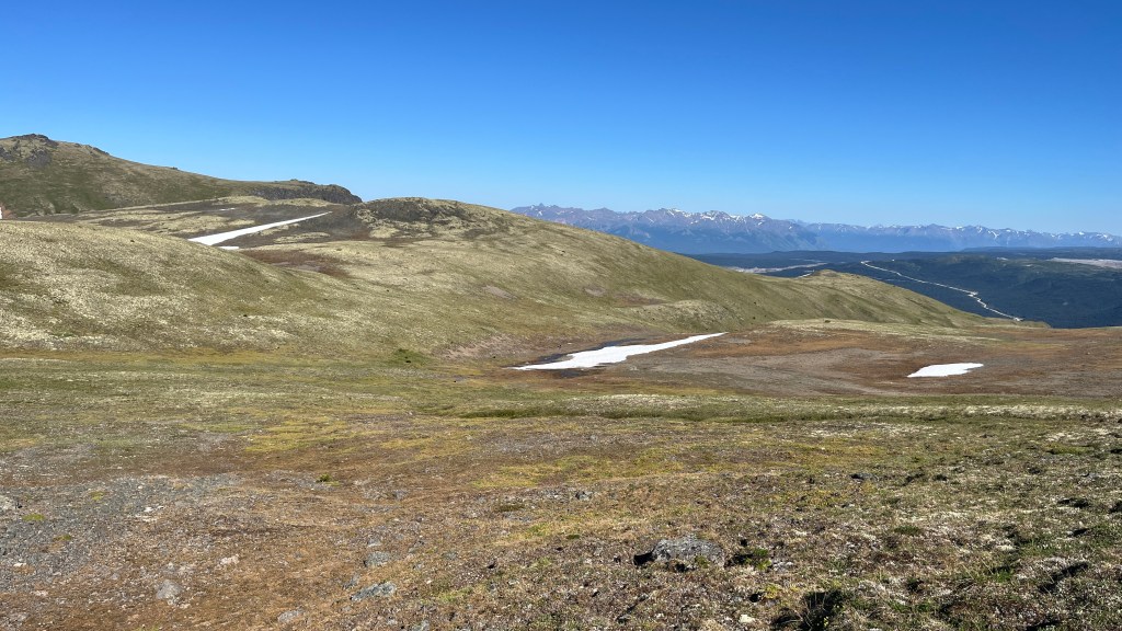
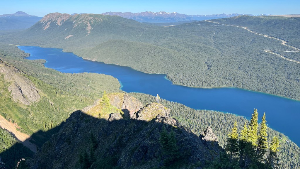
It took us 5 hours and 45 minutes to reach the summit, and 5 hours and 30 minutes to descend. The bushwhacking didn’t get any easier on the way down. The mountain also had several rock walls, and we were happy that we were able to climb up and down them safely. I’m grateful that I can do this again!
 Marta and Chester's Maleficent Adventures