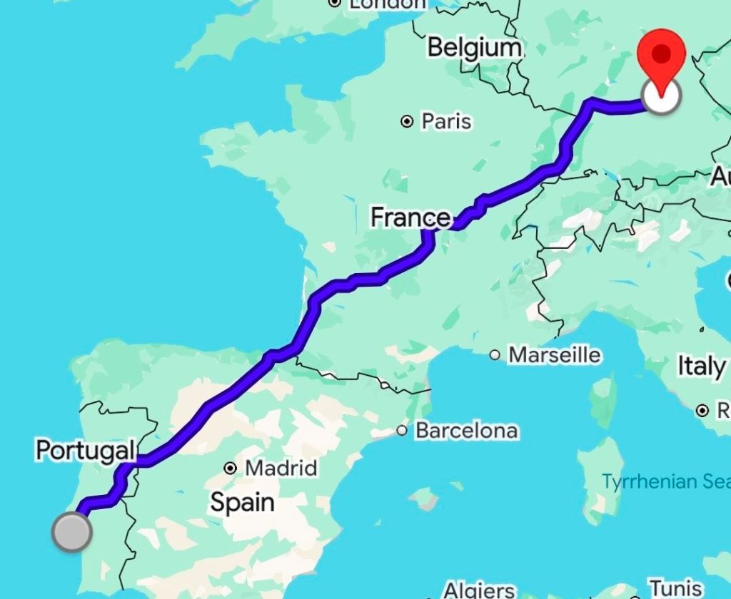
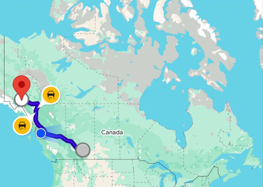
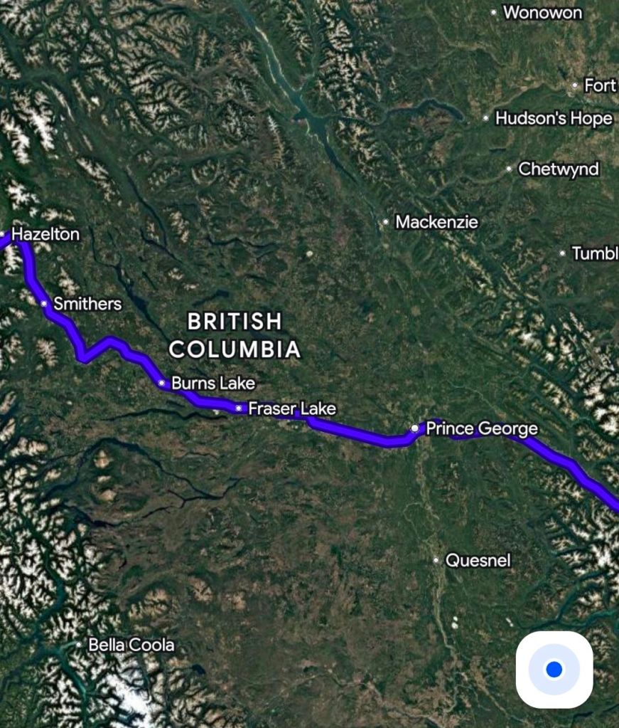
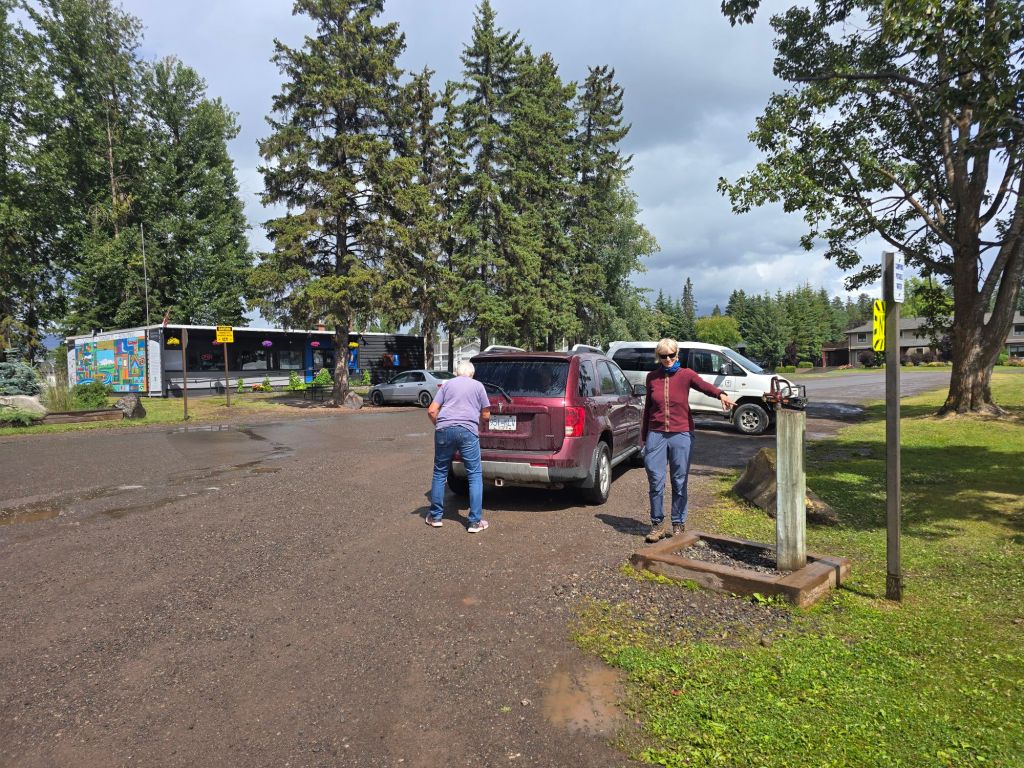
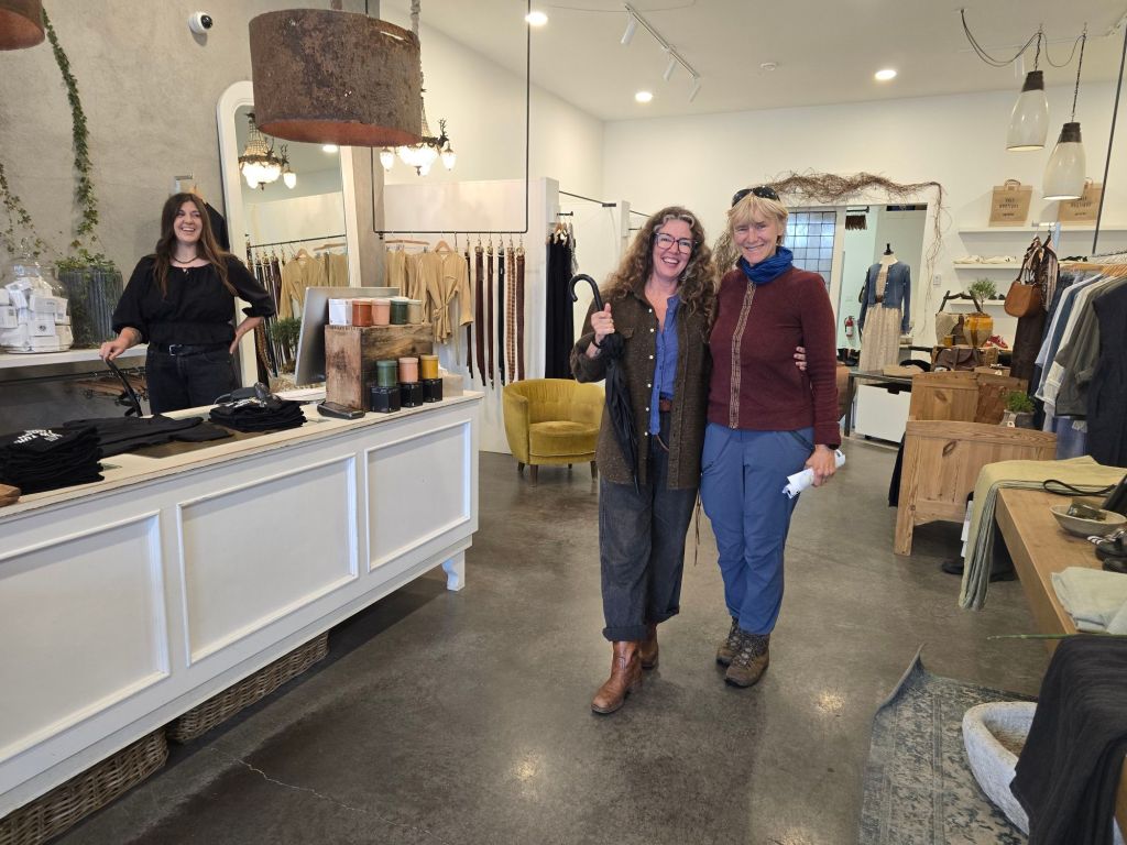
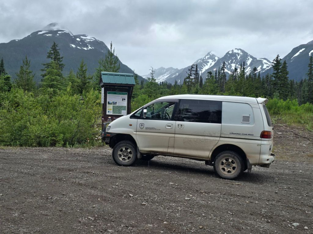
Canada is ridiculously big. Here’s a 2400 km drive in Europe. Probably you should take Ryanair.Here’s our plan – similar distance – on the vastness of Canada. Getting anywhere is days and days of driving.British Columbia is very green, but the middle bit is too green – great if you want to make billions of 2x4s, not great if you want to hike up some rocks and get above the vegetation. We power drive past all this to SmithersBabine provincial park is close to the road, has alpine views, peaks and trails.Smithers has parking, public bathrooms and a tap to fill your water tanks. No Lidl, unfortunately. In small-town Canada, if you want moldy cheese you have to be patient.This lovely businesswoman seen us hiding from the rain in town, and lent us an umbrella. We try out the off-road trail, Telkwa Pass. A YouTube channel we follow (Slow roamers) drove through here 3 years ago in a great big 2wd American van. How hard can it be?
Doesn’t look so hard?
We gave up at the end of this video. The hill down on the other side was steeper, with lots of 40cm ledges. This trail has really gone downhill since Meg and Alex went through.
We don’t 4×4 for fun, we do it to get to interesting places. There’s no hiking along Telkwa pass, so why are we risking our mobile home?
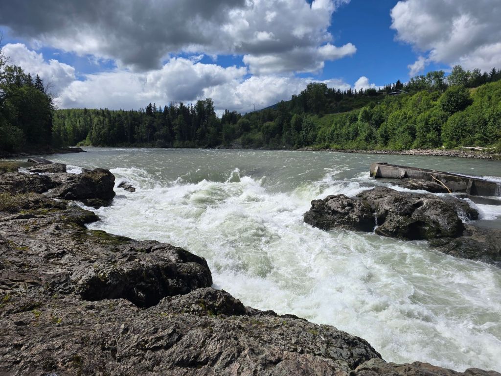
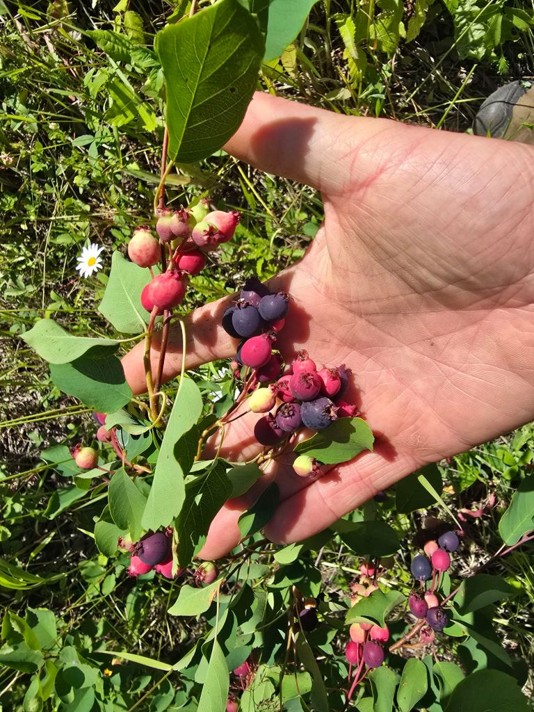
These rivers are close to the Pacific Ocean, and must be incredible during the salmon run. Local natives have safety ropes anchored along this cliff edge. Imagine catching several days food with one scoop of your net.The Saskatoon bushes are loaded and just getting ripe. No neurotoxin here
The road between Prince George and Prince Rupert is called the Highway of Tears. Someone was preying on female hitchhikers – mostly native.
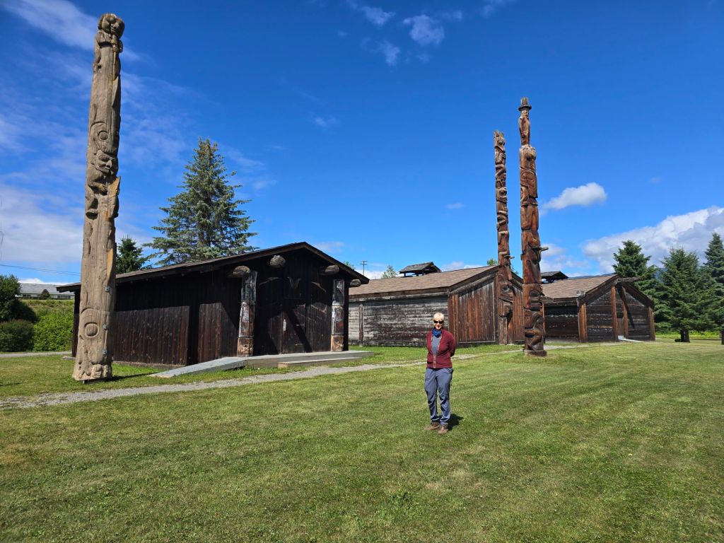
Museum in Hazelton / Ksan
We stopped in Hazelton for a museum – unfortunately pictures not allowed. I’m surprised to learn the tribes here had copper before white folks showed up – there are pure copper veins in North America. Without tin to make bronze, they concluded the best use was ceremonial – treat it as a store of value like gold, and for making status symbols.
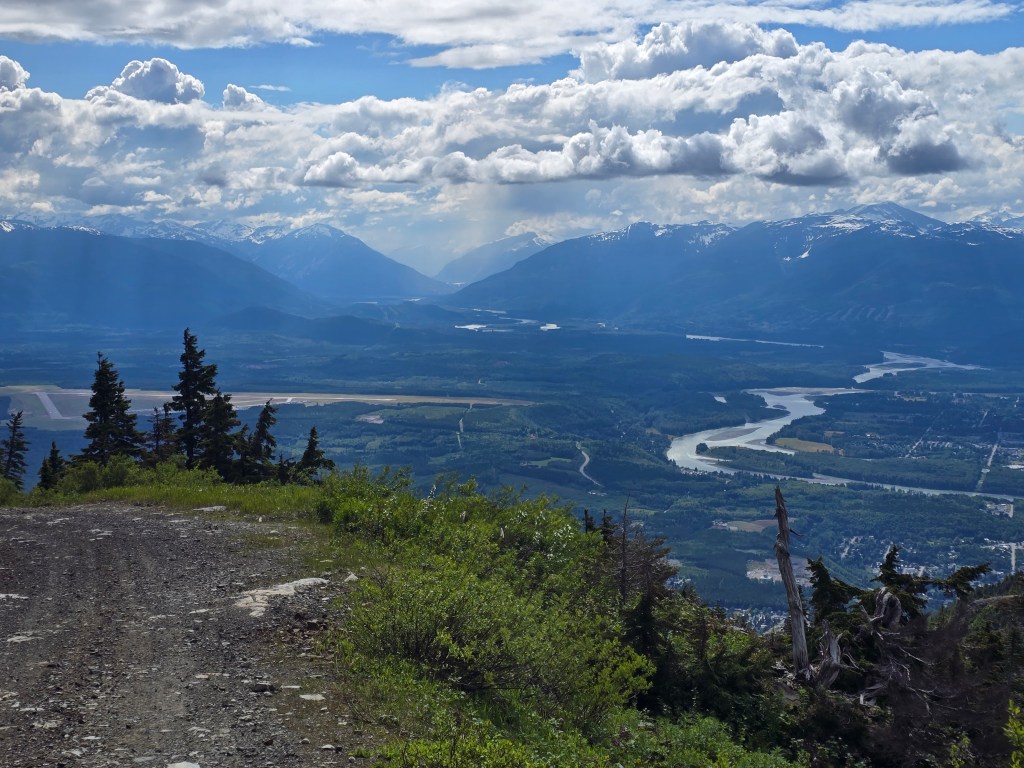
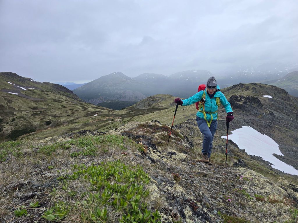
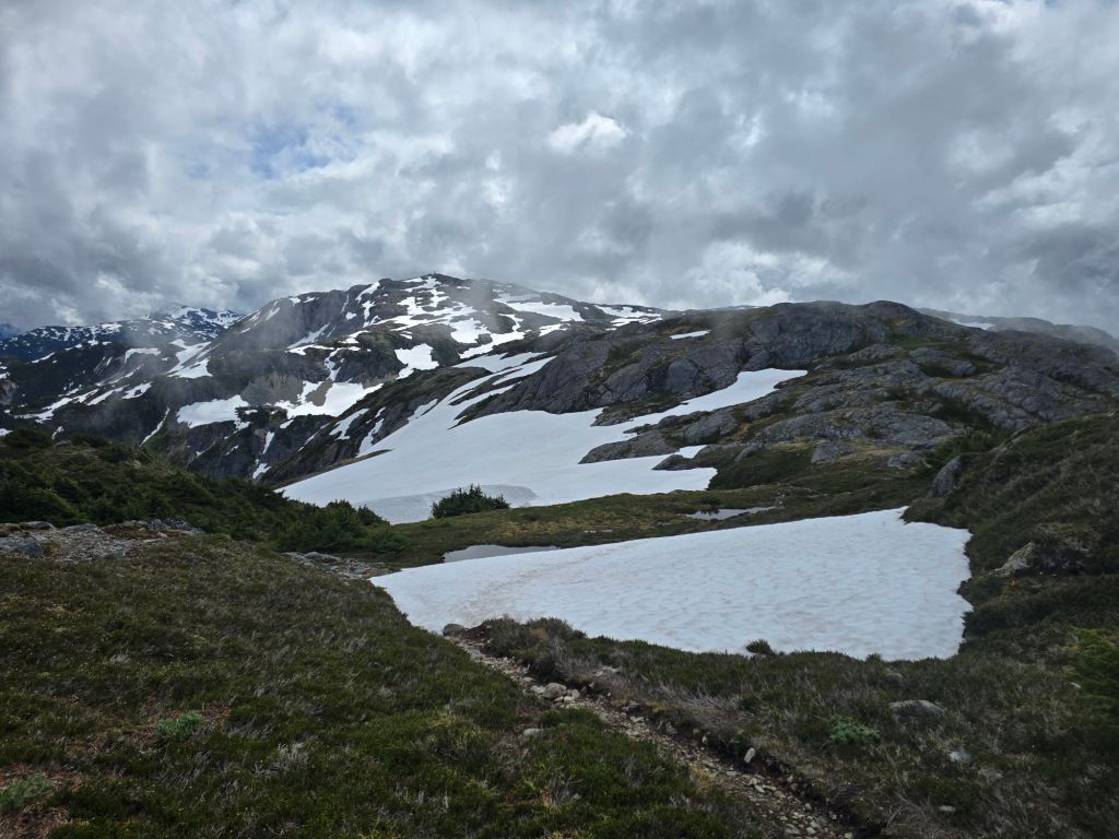
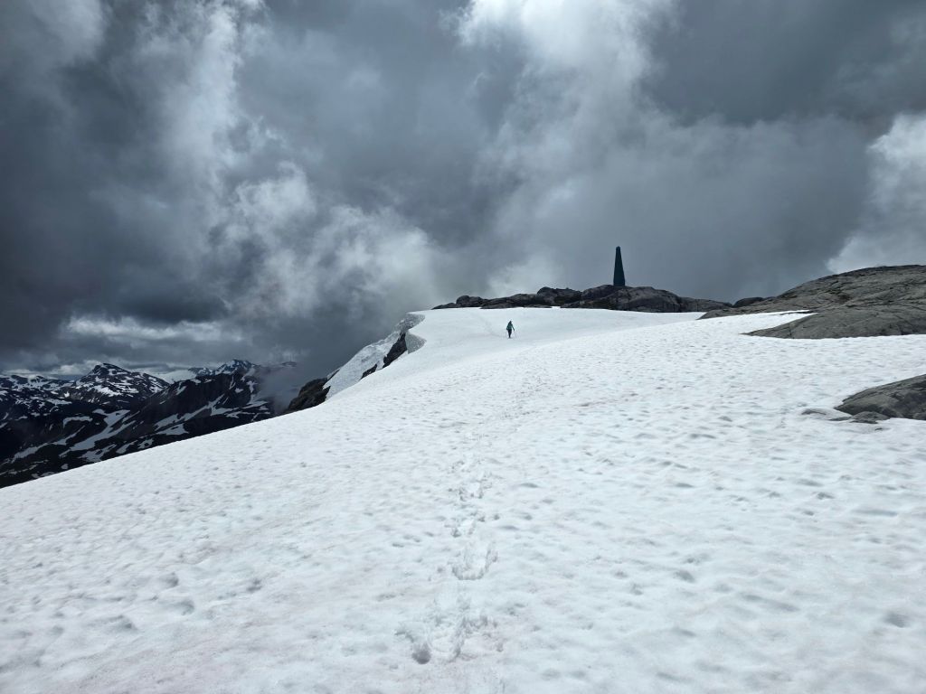
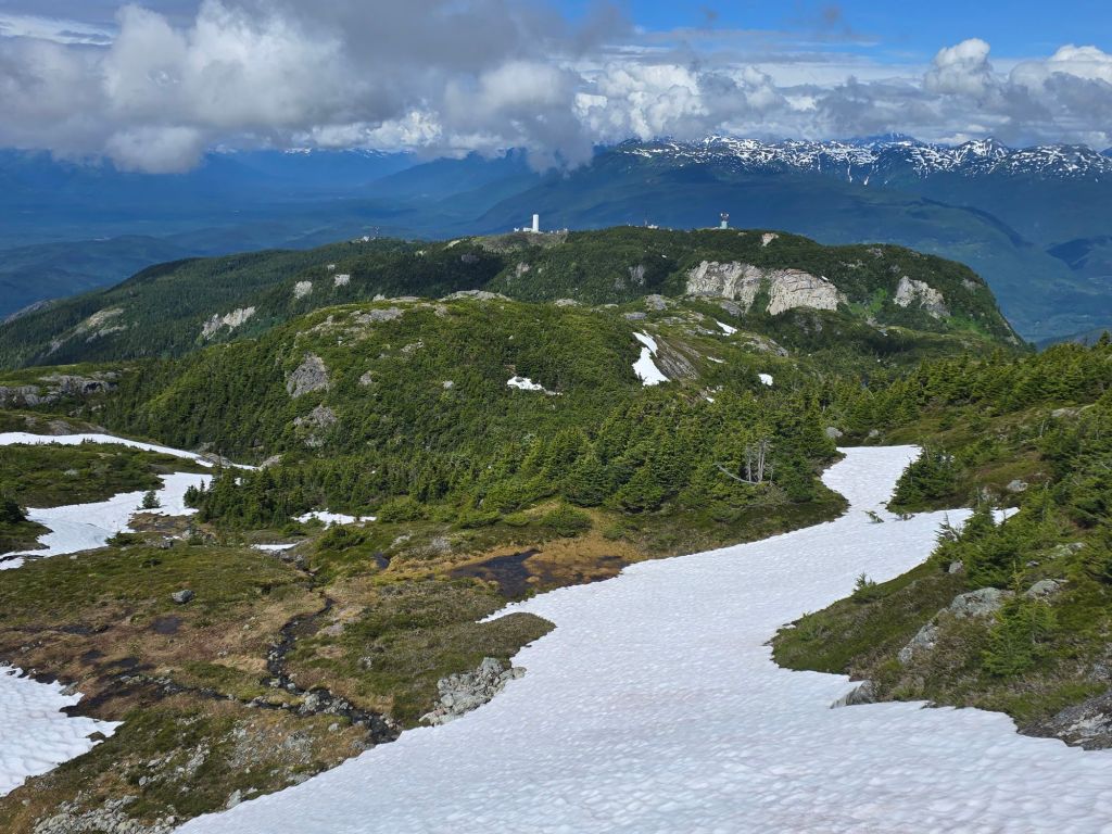
We continue to harden ourselves by hiking on trails – Mount Thornhill by Terrace, BC A 2.4km traverse over to Copper Mountain makes the hike a little spicier
Gorgeous country. Bad place to lose a cowWe just need to get to the radio towers. The trouble with bushwhacking in BC is you have no idea how long this could take. It’s possible to run into brush that slows you to a few hundred meters per hour.
I don’t know what we’ll do when we go a little further north, and the towns/people/trails disappear…
Next up – Kitimat, home of the most insane megaprojects in Canadian history. Hopefully we’ll get a tour.
 Marta and Chester's Maleficent Adventures