We wake up to the buzzzz of mosquitos trying to get into our Delica. We are separated from them with thin mosquito nets covering the front windows. I dread leaving the vehicle, but the nature is calling. We had couple of bad mosquito days in BC, but as we crossed into Yukon several places score higher. How many bites will I get this time while squatting?
Next, breakfast with mosquitos falling into our cups, mosquitos biting our necks, hands, legs. We spray, but relief is short lived. Why can’t I get enthusiastic about hiking in these conditions? Chester suggests a mountain, higher up. It does not have a name on the map, so it is referred to as Peak 2040 in Peakbagger.com because of its elevation. The day just started and will last for a long time. Mosquitos or not we better enjoy the day.
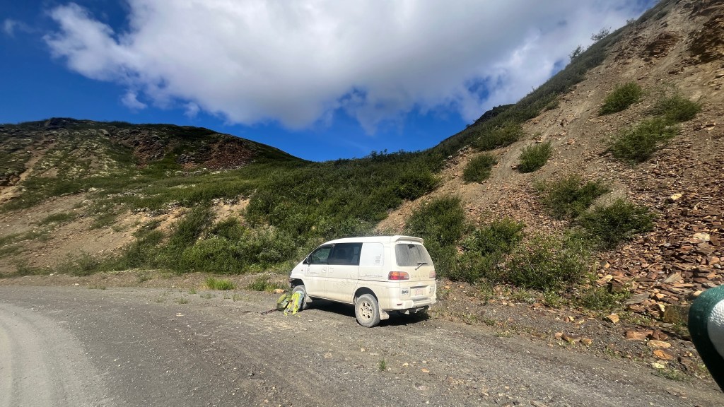
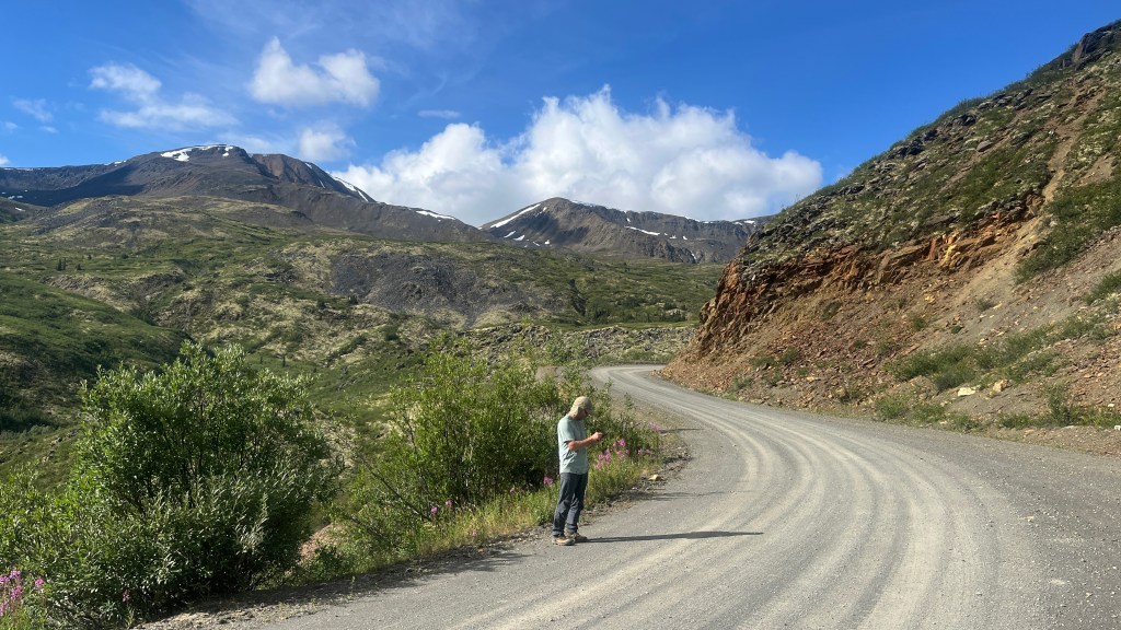
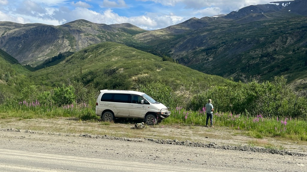
We drive up the road looking for a place to park. The road is narrow, but there are short wider sections where parking is possible.
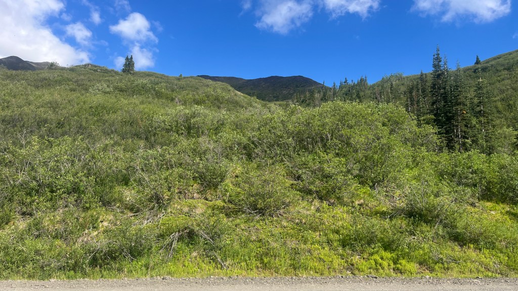
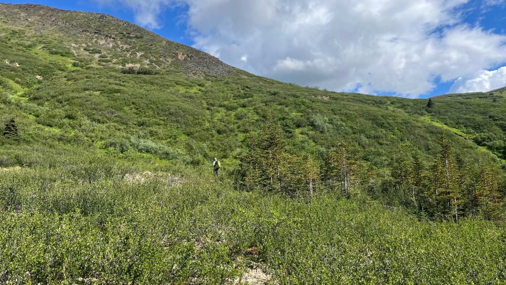
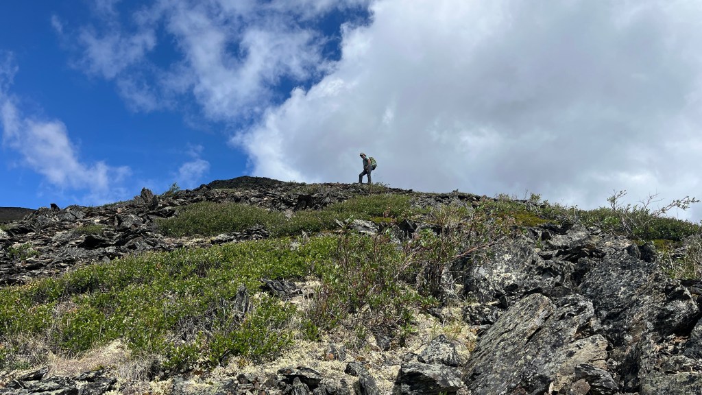
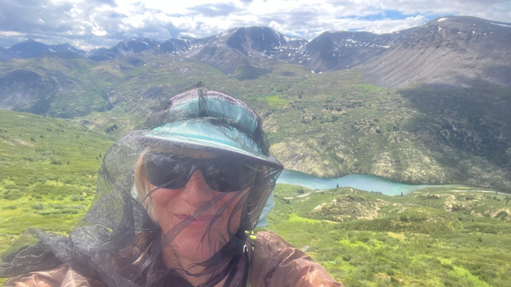
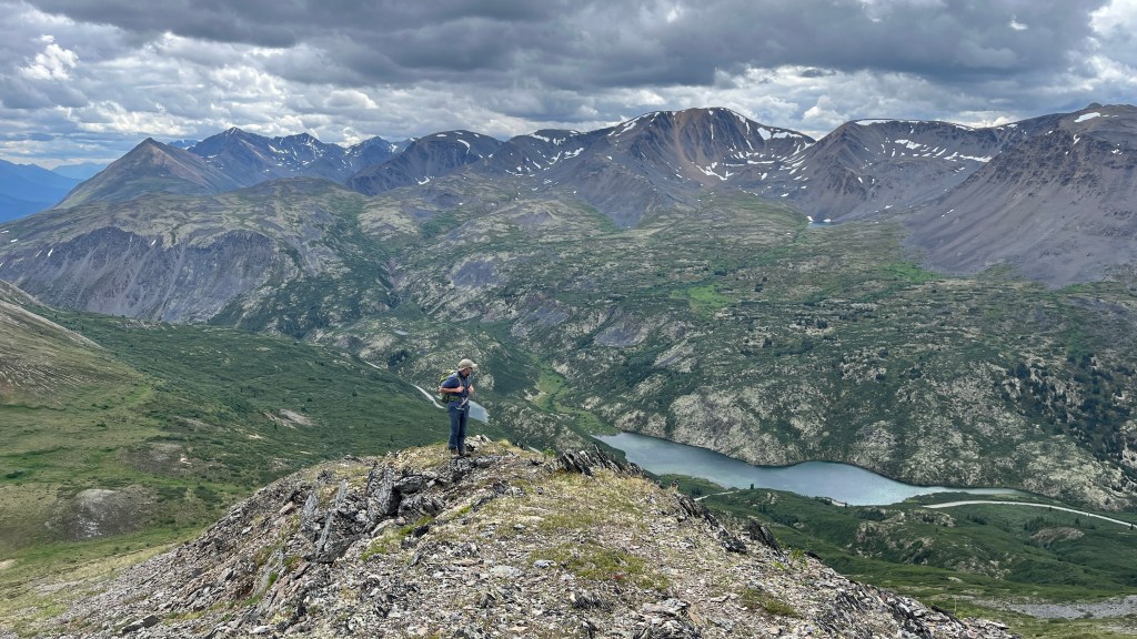
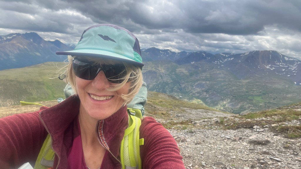
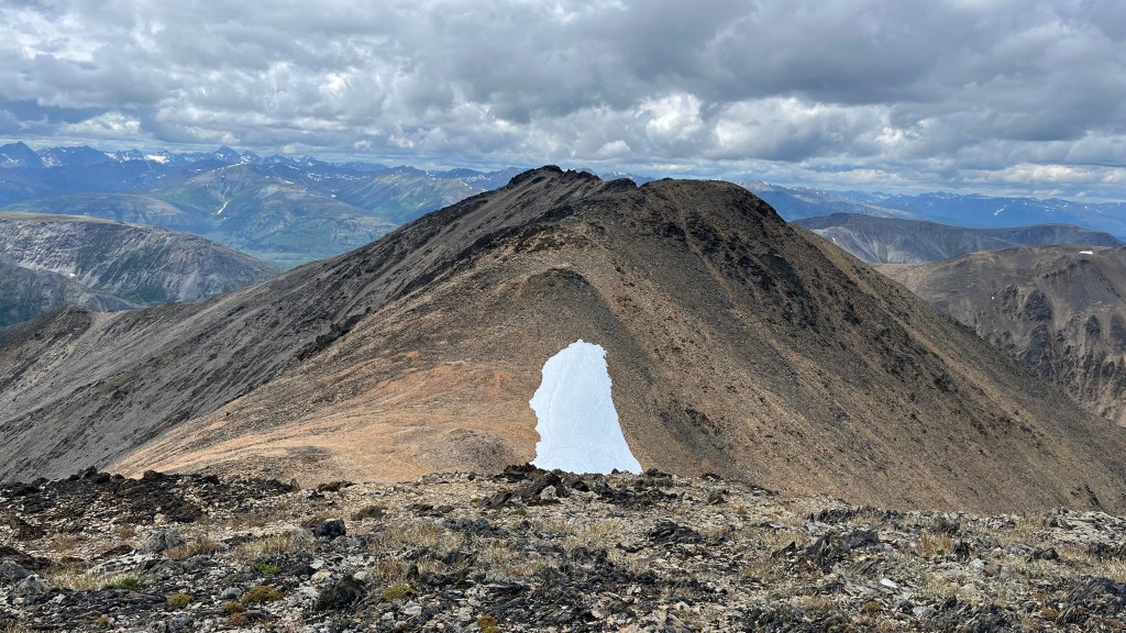
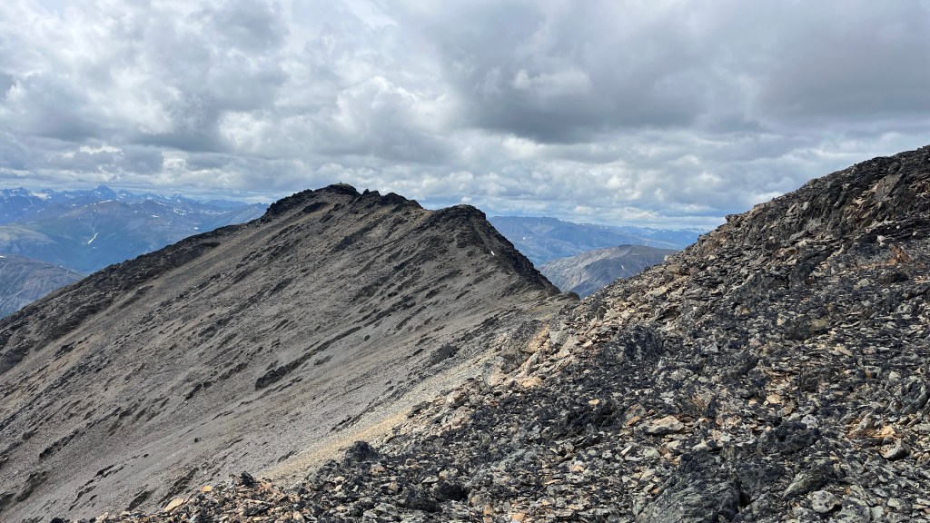
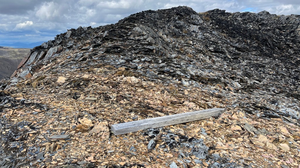
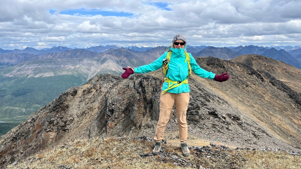
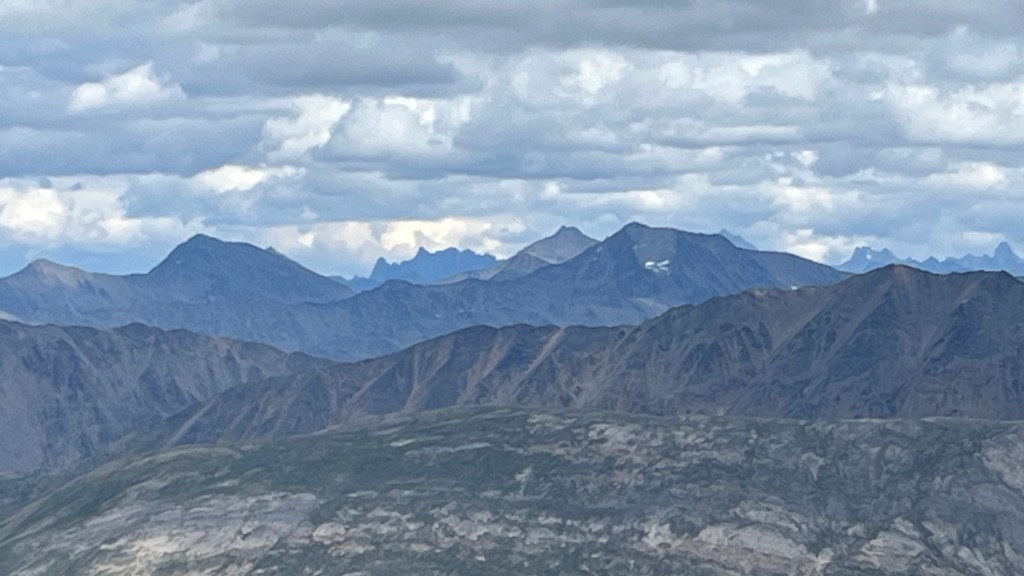
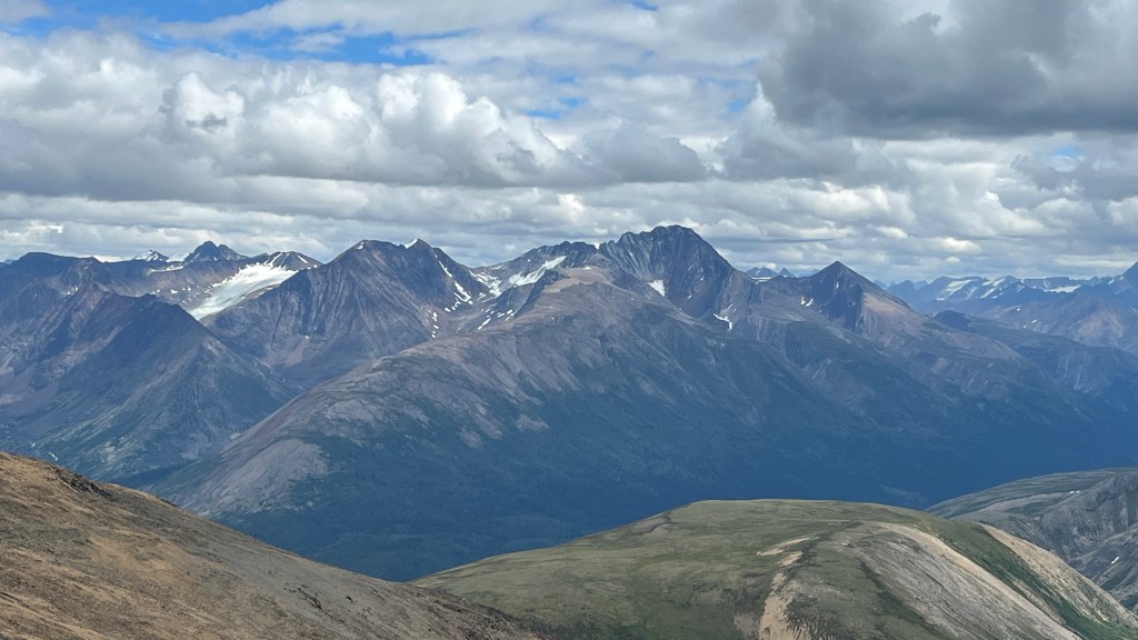
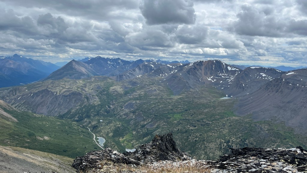
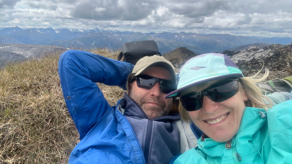
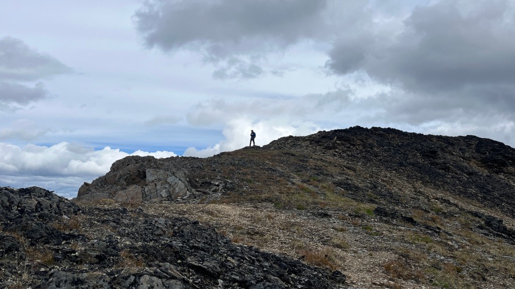
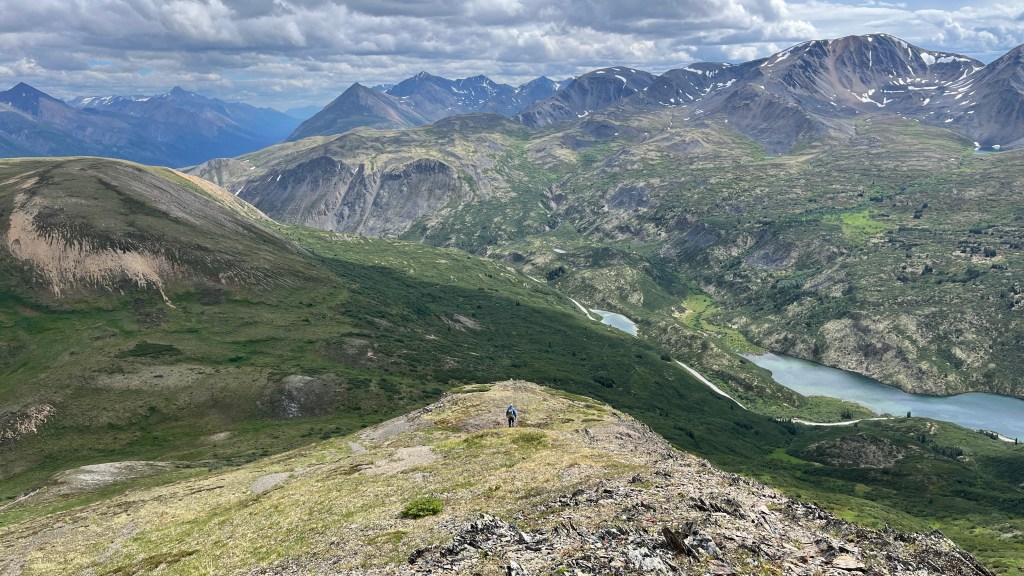
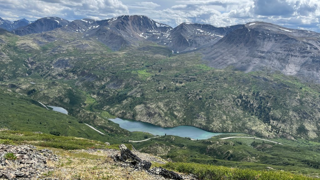
This is one of the wider sections.We can certainly access the slope from here, but is this the best route to Peak 2040? Chester studies the contour lines on Mapy.com, and we keep driving. There is a better spot.The parking is good, the slope is good… the bushwhack? Not so much. That tree on the left marks the point where the vegetation finally starts to thin out.The bushwhack is still much better than on our previous outing. It is relatively short, and the terrain isn’t nearly as steep. Chester still has to use his mighty branch-cutting tool to make the route passable.Bushwhacking is done. Now the beautiful hike begins.I outsmarted the mosquitoes. Ben’s mosquito invisinet works like a charm!Epic!I can’t stop smiling!The final ridge lies ahead.Chester is already on the summit of Peak 2040. He’ll have time to fly Ikarus. There is no wind here—not yet, anyway.I stumble across this man-made survey marker and wonder why it’s here. Could it mark the border between the Yukon and the Northwest Territories? It turns out it does. I doubt this marker was ever driven into the ground. A few hundred meters later, I find another one lying on the ground as well.Finally, the summit. It feels like being on top of the world, with mountains stretching in every direction.These mountains look like the teeth of a saw, much like the word sierra means in Spanish.More mountains and almost none have namesWe scout tomorrow’s route. The peak just right of center looks like a good destination.Time to zenFunny how return often feels shorterBack to the lovely ridgeOur plan for tomorrow is to hike up the mountain left of center and then traverse the ridges toward the right. We’ll see if it’s doable. From here, it certainly looks possible.Puma is waiting patiently for us.
Below six hours of hiking compressed into six minutes. That’s a 60:1 compression ratio, enjoy.
 Marta and Chester's Maleficent Adventures