It was time to move on. But where?
Our original plan was to cross the Sierra Madre Occidental to the Pacific Ocean via the town of Tamazula de Victoria and then Culiacán, both in the state of Sinaloa.
But we were warned—several times, by several different people—that this was a bad idea. There is a well-known conflict in that area. Many dead. Not good. Although tourists are generally not supposed to be affected, we didn’t know any foreigners who had gone that way—no beta.
Update: before I finished writing this blog, we learned about the disappearance and sudden reappearance of an American–Mexican influencer in exactly that area and 10 mine staff kidnapped south of there.
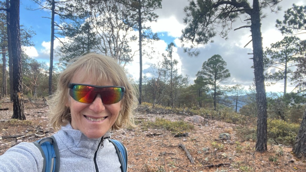
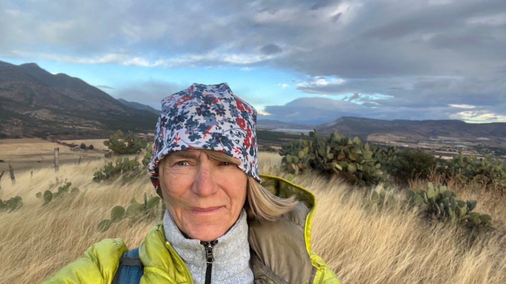
When we travel, we listen, observe, and make decisions. It was obvious that locals were already very surprised to see us in this region. Everyone we interacted with had a hard time understanding what we were doing there. Most people don’t travel through unknown mountain ranges for fun. We do—but it’s not easy to understand if you don’t. We must have looked lost to them. Or who knows. What are those weird gringos doing here?—that question was clearly written in their eyes.
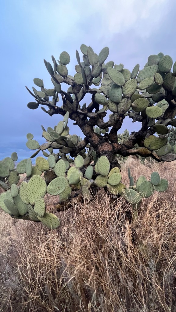
The truth is, we enjoy exploring. And this is an epic area: wild, scenic, and underexplored.
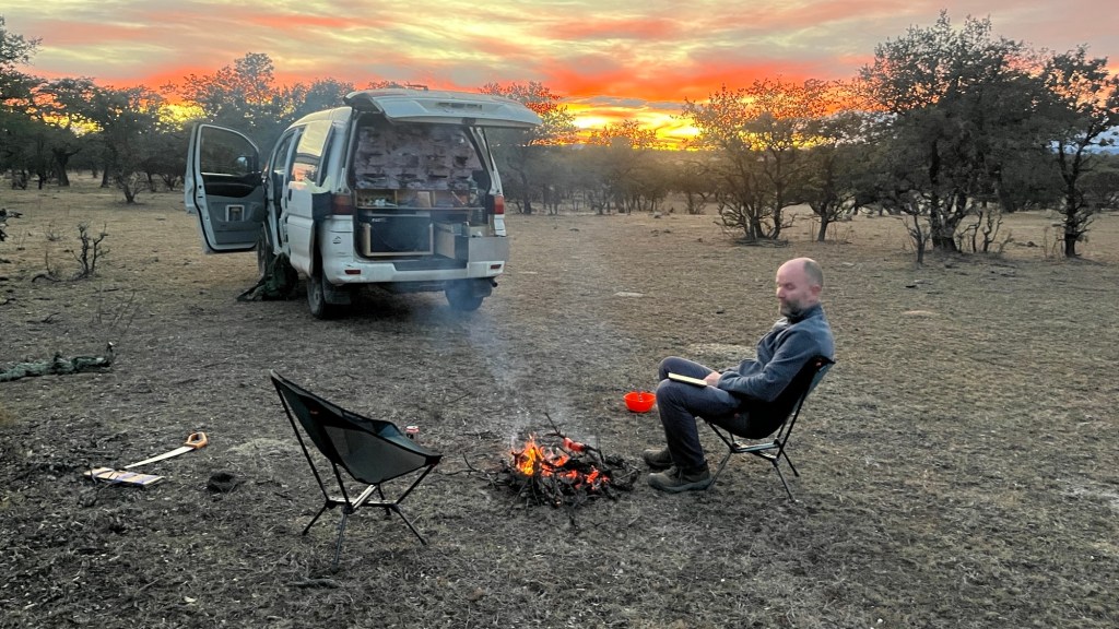
After many discussions and serious consideration of what we knew, how much we were willing to risk, and what was important to us, we decided to turn around and head back the way we came. Well—not exactly the same way, but close.
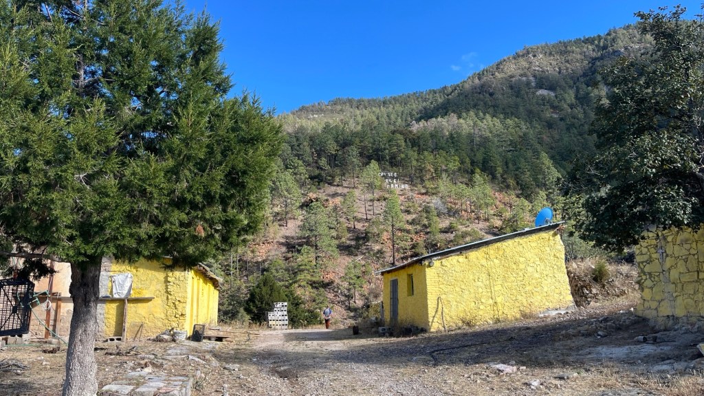
First, we returned to Topia over the mountains. Our friend Hugo, an English teacher in Topia, had invited us to visit his school, so we found it and headed there. Hugo introduced us to his class of about 35 students, and we had a blast answering their questions in English. We think they had fun too.
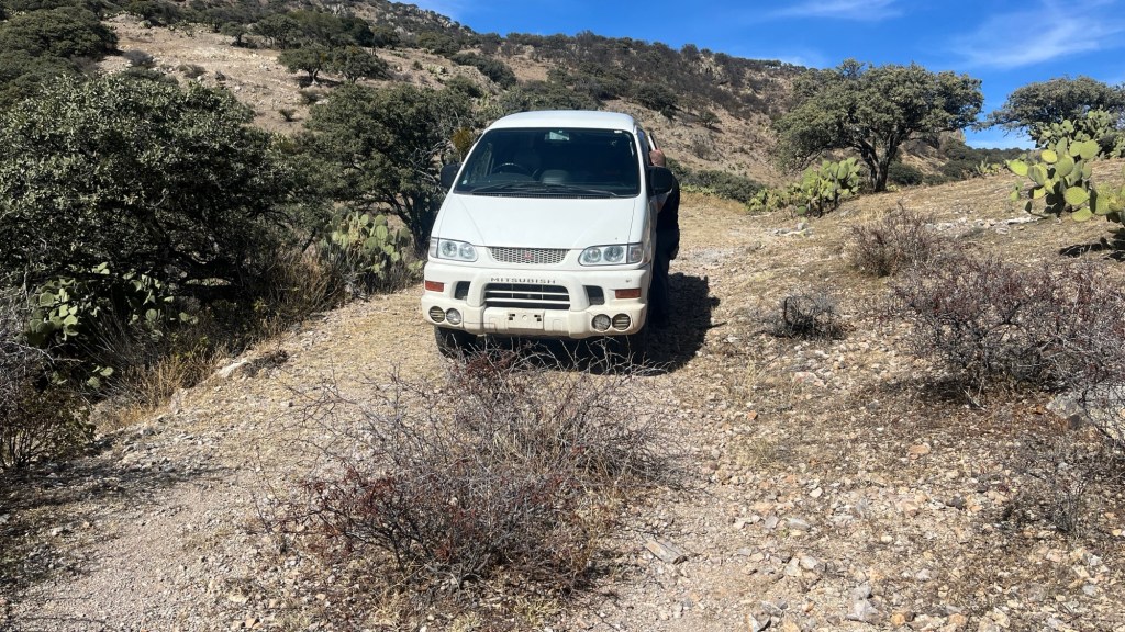
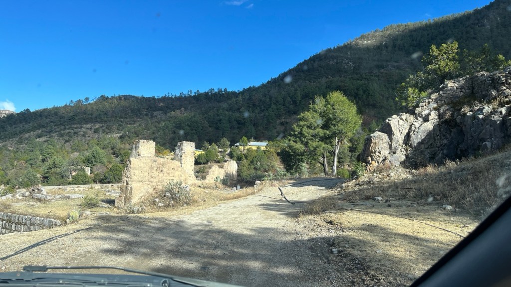
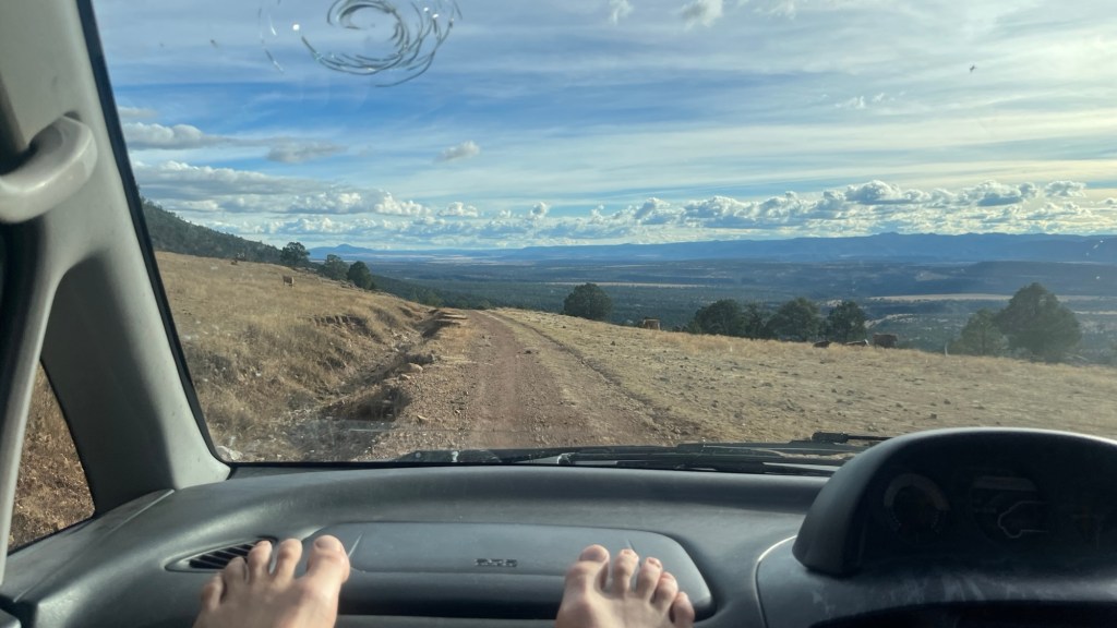
Then we followed advice from Alfred, a Mexican man who stopped to chat with us and suggested taking the upper road from Topia to Canelas. The road exceeded our expectations. It was narrower, tougher, and had a real sense of wilderness. We are still confused about how supplies are delivered to Topia—there doesn’t seem to be any road that would comfortably accommodate larger vehicles.
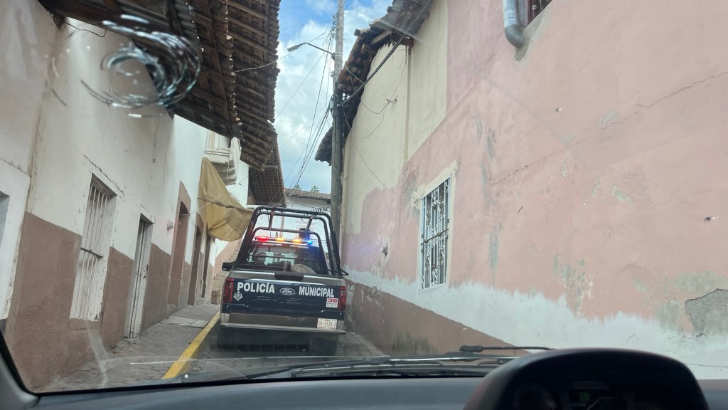
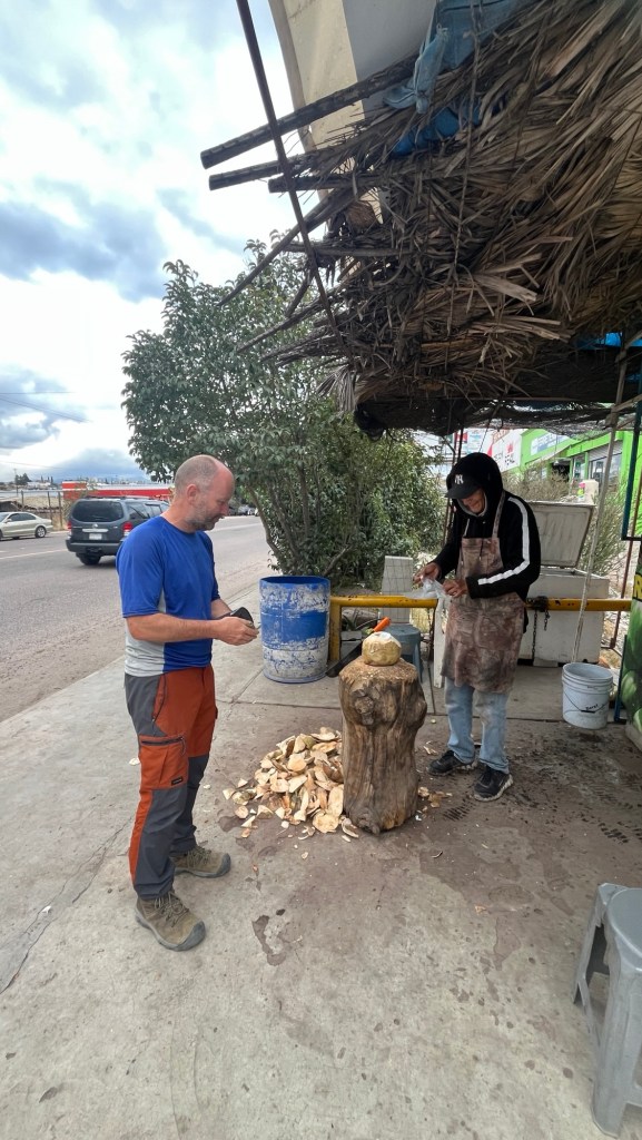
Canelas is a pretty little town with insanely narrow streets. We were surprised by how difficult it was to navigate the crooked lanes, and we got lost. Luckily, the municipal police didn’t lose us. They followed us and stopped us, asking why we were there. When we explained that we had lost our way, they were incredibly helpful. In fact, they drove ahead of us to show us the way out of Canelas and wished us a safe trip. So far, our interactions with Mexican municipal police in these small towns have been extraordinarily positive. Thank you!
We were so pleased to finally reach asphalt. Yes—after three days of dirt roads, it was a relief. But only for a while. Soon the asphalt was full of holes, and our progress slowed again. Clearly, unmaintained asphalt is far worse than a gravel road. When we spotted an elderly man patching potholes, we stopped to give him a tip. He truly deserved it. A car behind us did the same. Maybe this is normal here—roads repaired by people rather than the government?
We knew we would have to pass a police checkpoint—the same one we crossed a few days earlier, when we told them we were heading to the Pacific via Tamazula. Would they remember us? Would they question why we had changed our plans?
They did. They knew exactly who we were.
Again, we were asked where we were heading and why we had returned. Our explanation—that we had been advised it wasn’t a good idea to go to Tamazula—was sufficient. One of the officers had previously worked in Colorado, spoke English, and understood environmental travel. We were grateful.
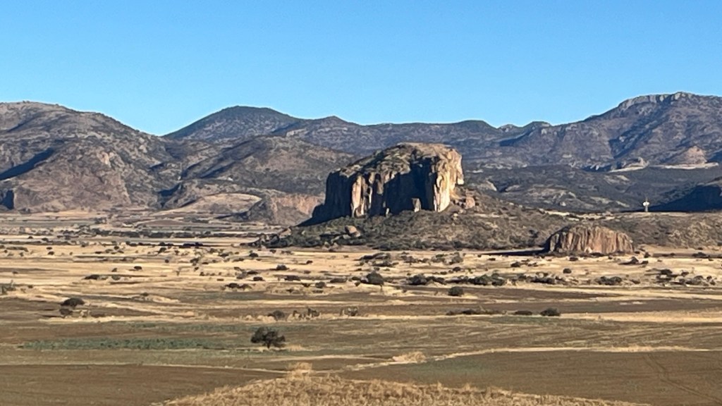
(1) Sierra San Francisco rises steeply above beautiful plains that look like the Serengeti.
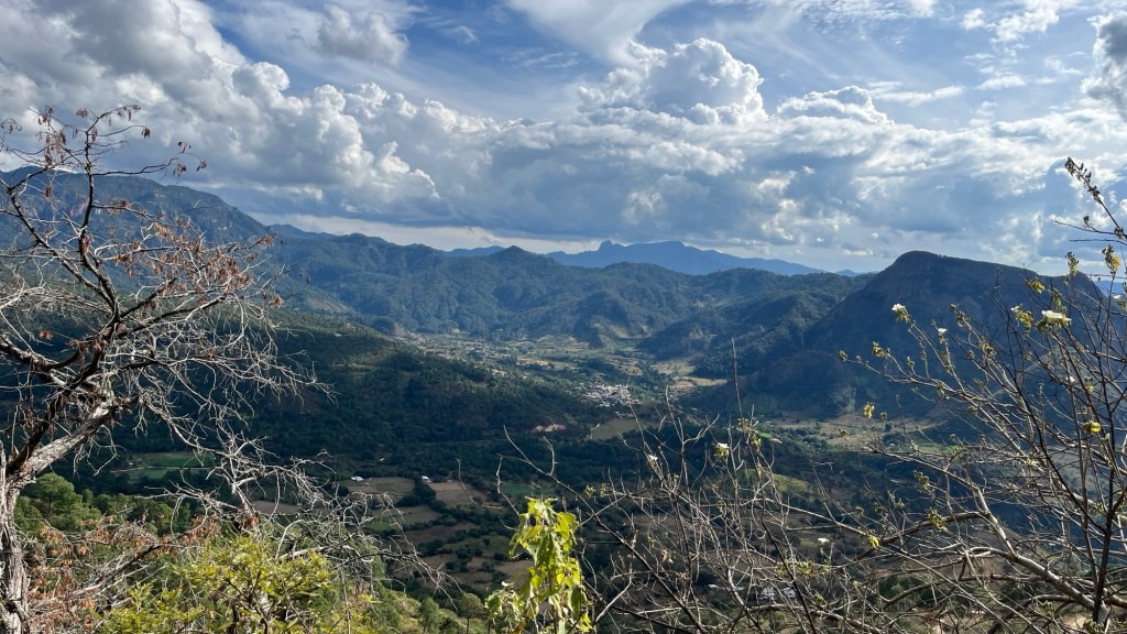
The next day the weather was cloudy and a bit rainy. Since we had already driven part of the road, it was still beautiful, but we no longer had the breathtaking moments of the first time—only the “wow” moments.
Chester complained about another bad night. Even though we slept only at 2,300 meters, it still seemed too high for him. He wasn’t breathing well and felt like he was suffocating.
We stopped in Santiago to look for Diamox, a drug that helps with high altitude. Surprisingly, we found it in a drugstore—no prescription required. We’ll experiment to see if it helps Chester. In India, Indian Diamox didn’t help him.
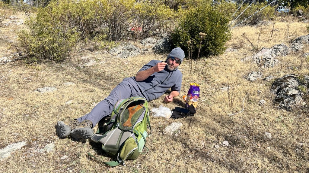
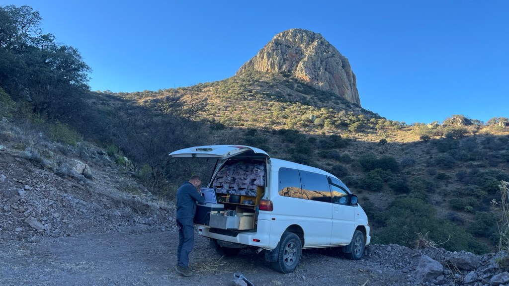
The other thing we found was glue to patch holes in our muffler. Chester made the repair right in the parking lot of the Bodega store. Nobody seems disturbed by using mercado parking lots as mechanical workshops. And as usual, my “mechanico” did a bang-on job.
Often it is Chester who scans Google Maps and Mapy.cz to identify interesting features or high terrain, but this time I chose the next destination. I am addicted to Peakbagger.com—the app shows peaks and their prominence. I want to climb them all. Why? Because they are there, I suppose.
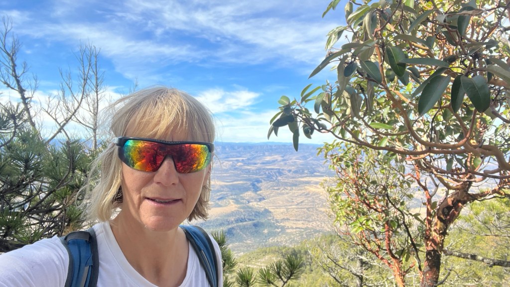
There was one peak near Santiago with over 1,000 meters of prominence. Cerro Alto de Promontorio lies in the Sierra San Francisco and is 3,100 m high.
On the way, we stopped at the shrine of Virgen de Curvas. The Polish translation is somewhat… conflicting, I guess.
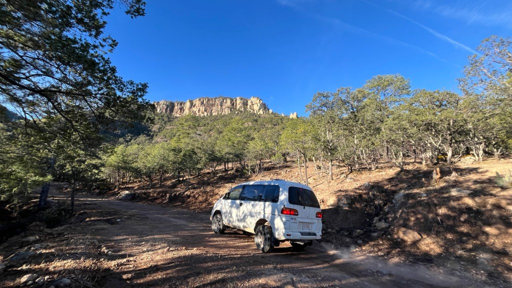
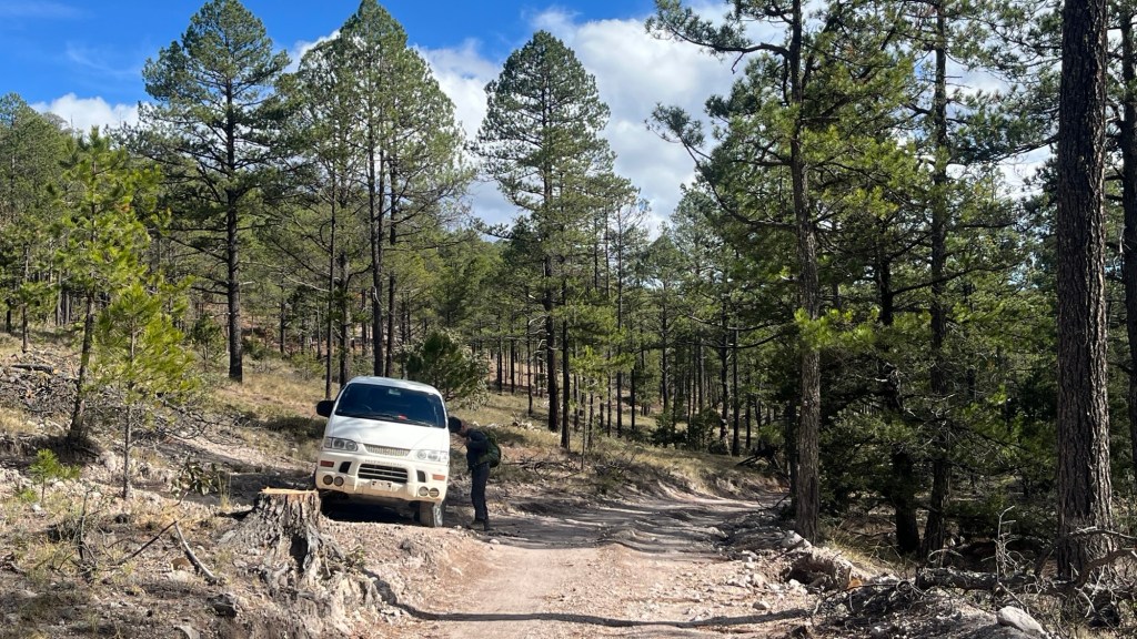
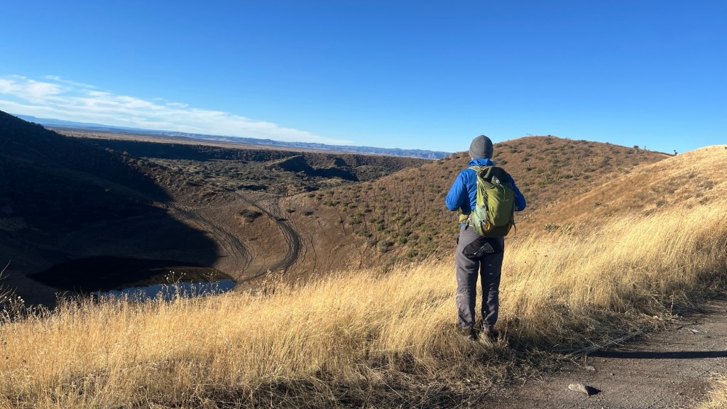
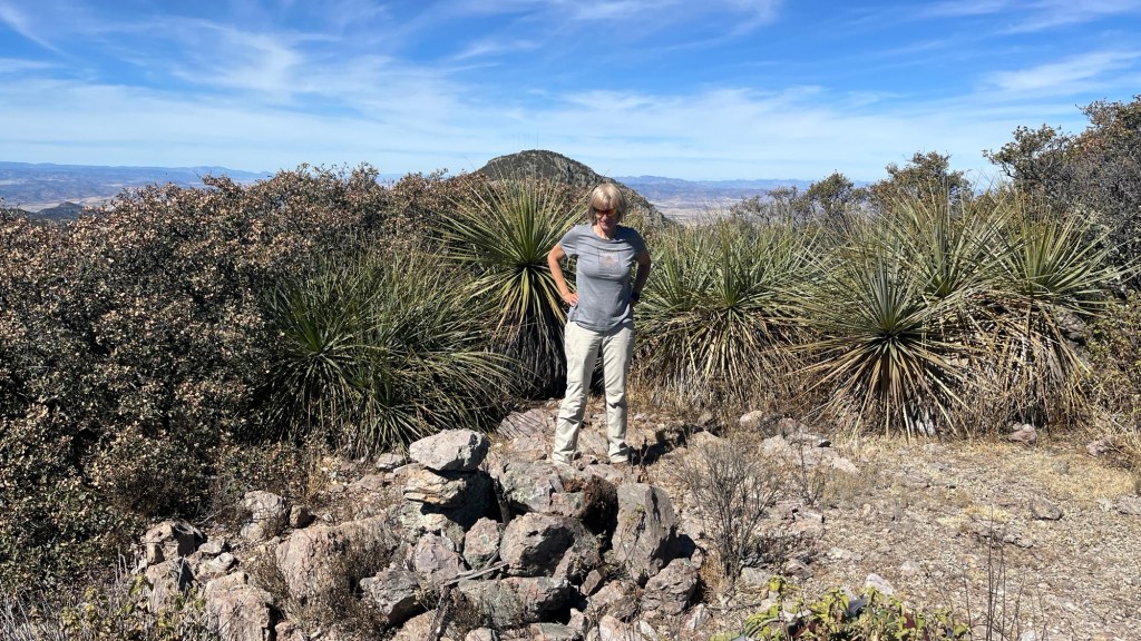
We weren’t sure if the forestry road up the Sierra San Francisco would be passable, but what would be the fun if we knew? The following day we started climbing in our Desigual (Delica). It was a great trip. The road was okay, but 4×4 was definitely recommended. We knew the road culminated in a mining area, with three mines marked on the topo map. A large truck that passed us suggested some activity was still ongoing.
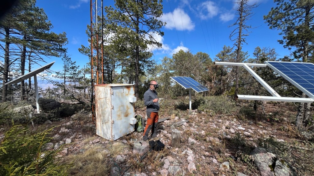
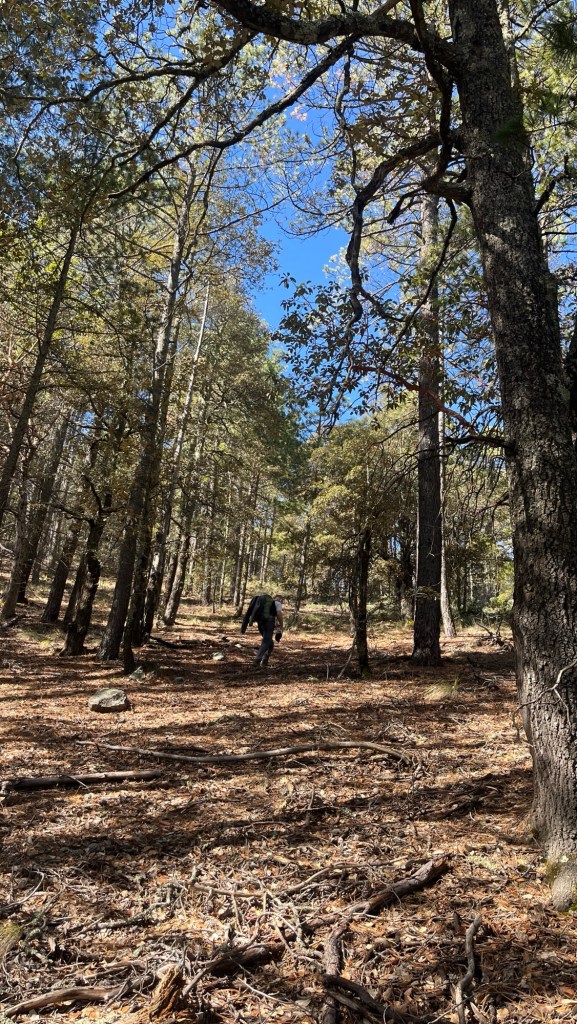
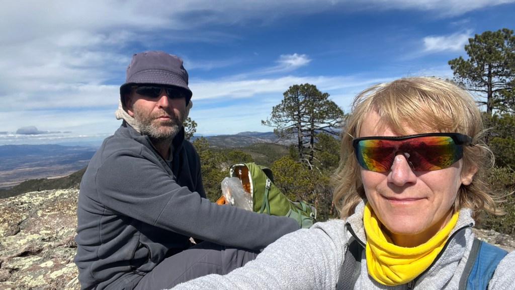
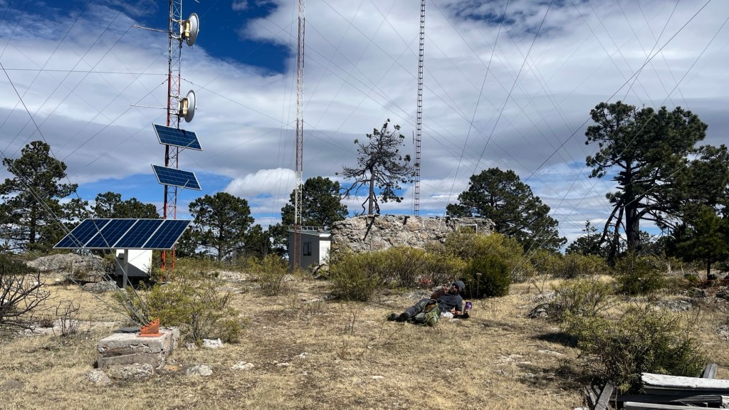
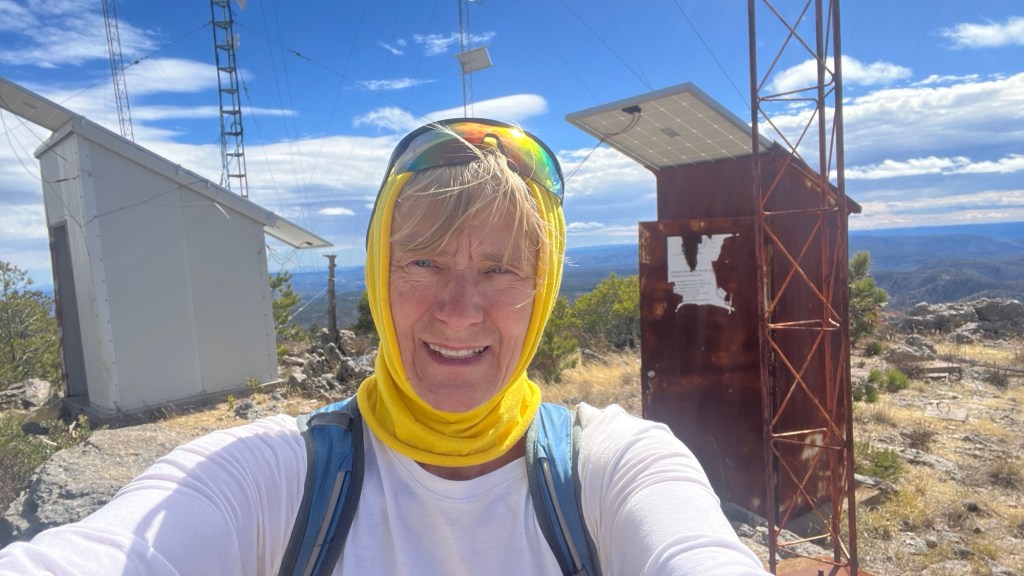
We drove to about 2,800 m, stopped relatively close to the summit, and hiked about three kilometers along the ridges. It was pine forest, so bushwhacking was easy, with little underbrush. The summit had a radio tower, but tall vegetation obscured the views.
On the way back, I tagged another 3,100 m peak—because why not. The views were slightly better.
Before driving down, we decided to drive toward the mines. It was a fabulous drive. The road ended in what looked like the ruins of a settlement (not Aztec). The ruins were made of mud bricks. We would have continued searching for the mines, but suddenly a young man appeared on the slope carrying a serious firearm. It was not a hunting gun. He greeted us warmly in Spanish. We thought he was coming to talk to us, but when he reached the road, he turned and walked the opposite way.
We decided not to look for the mines anymore and left the area.
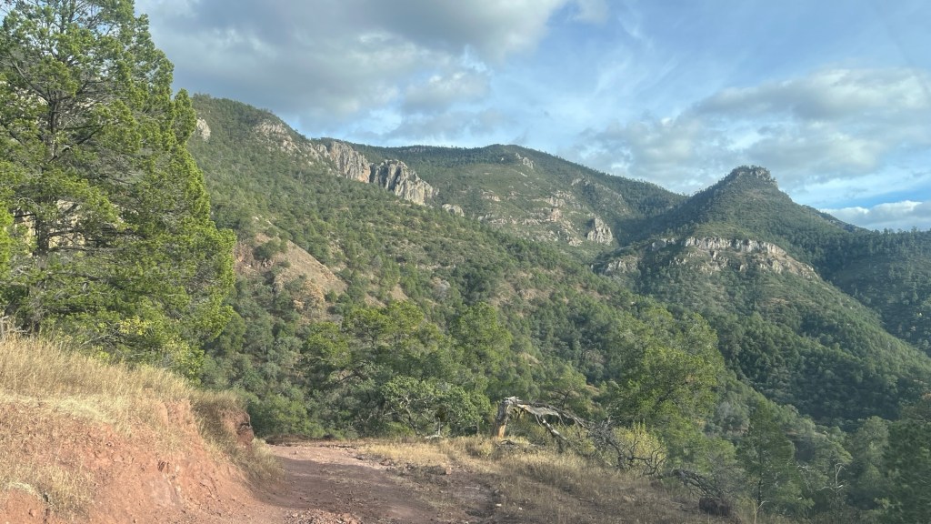
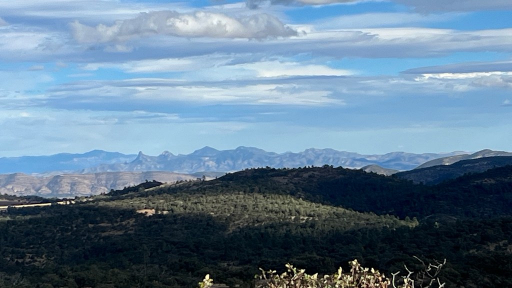
(2) Sierra del Epazote — over 20 km long, with several 3,000 m peaks.
From Wikipedia:
“Dysphania ambrosioides, known as epazote, Jesuit’s tea, Mexican tea, or wormseed, is an annual or short-lived perennial herb native to the Americas.”
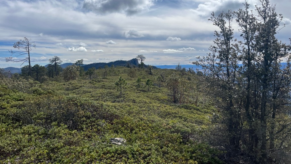
Chester spotted this range on Mapy.cz. It was at least 20 km long, with several peaks over 3,000 m, rising proudly between two large plains. There appeared to be a road from the town of Nuevo Ideal. Well—the road was not ideal. We suspect nobody drives it in a car. But we did, because we didn’t know any better.
We were thrilled to reach the col and hoped the other side would be better. It wasn’t. But before discovering that, we took a ridge road. That was the plan from the beginning: reach the col, get onto the ridge road, drive it, hop onto a peak, and rinse and repeat. We didn’t even reach the first peak before a significant erosion in the road forced us to stop, reverse, and change plans. The rest would be on foot.
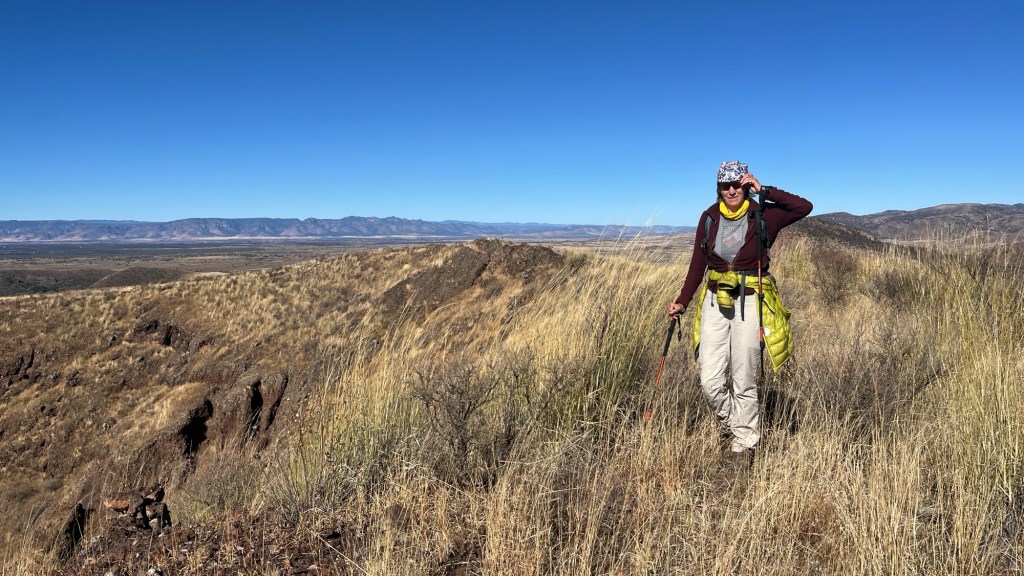
Again, it was a great hike—first on a road, then through open pine-oak forest, gorgeous as always. But we only managed two peaks. I can only hike short distances these days, and this was already a 12 km day.
Chester, however, was resourceful and found another road at the southern end of the range. This one would take us close to the highest peak of Sierra Del Epazote. The problem was the weather: 6 cm of rain was coming. We had a very short window—just one day.
The drive down was rather adventurous drive down. I was often concerned we might have to turn back and return to Nuevo Ideal.
Next morning we made it to Santiago River Valley and started a road up. This time the road was fabulous, and we reached the ridge without any trouble. The ridge road, however, was full of puddles. Eventually, about 5 km from the summit, we stopped and hiked the rest. Another spectacular hike.
From the summit, Chester spotted an interesting-looking range to the southeast. That became our next target.
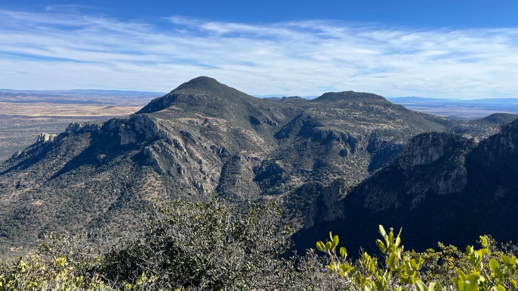
(3) Sierra La Silla — spotted by Chester on the SE horizon.
First, we rushed out of Sierra del Epazote and down to Canatlán. By the time we arrived, we were starving. We stopped for street-food tamales—each cost about $1 CAD, and three were enough to fill us up.
We then drove past town and camped at the base of a small volcano, which I hiked early the next morning before the rain arrived.
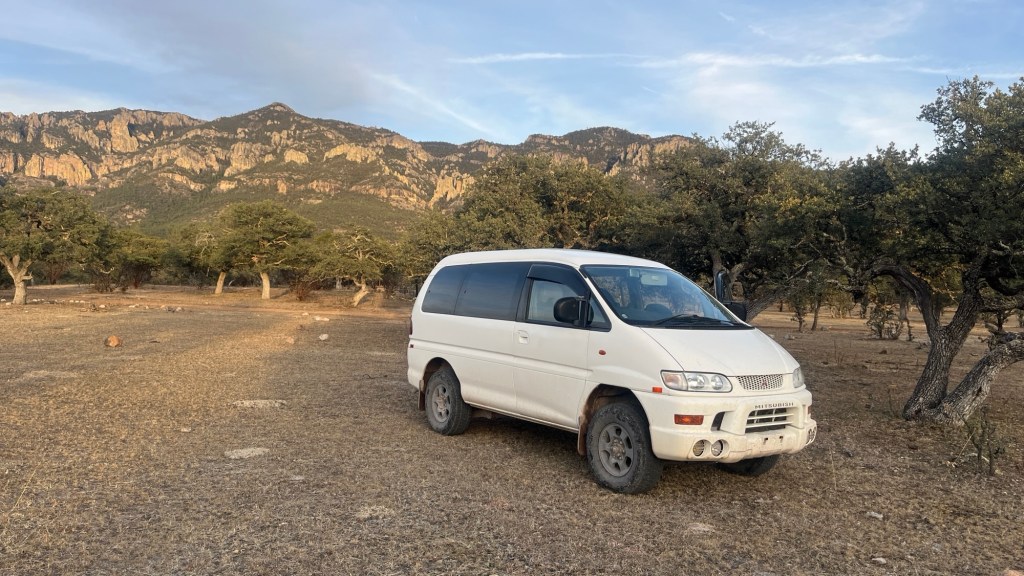
And the rain did arrive—seriously. It poured most of the day starting around noon. It turned into a good day for catching up: laundry, shopping, buying plane tickets back to Canada and on to Europe, talking with friends, patching Chester’s pants, and Chester making adjustments to the Delica. All from the comfort of our lovely Desigual. Yehhhh.
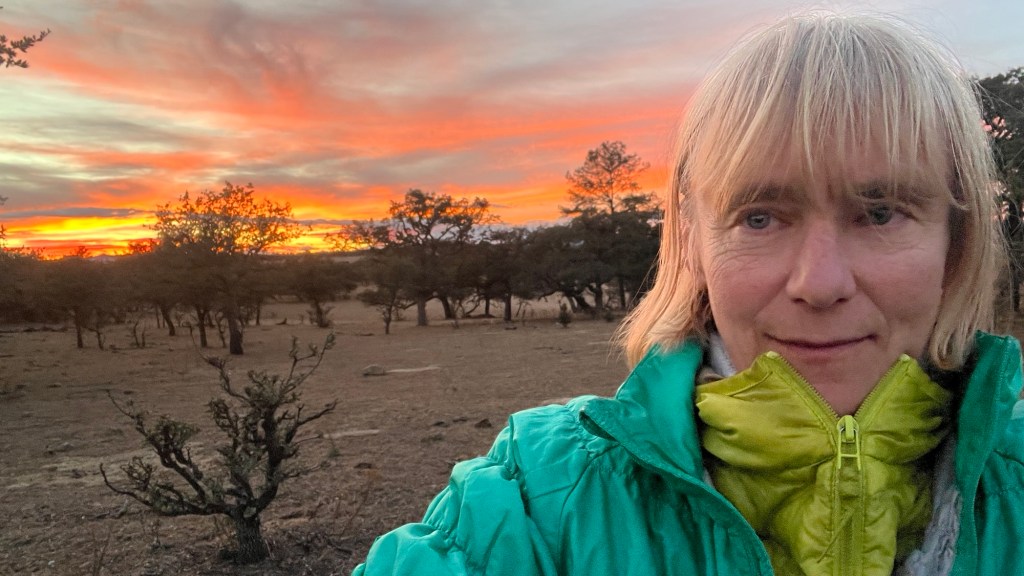
We left Canatlán in the dark—which is a no-no—but we didn’t have much choice. We drove toward our destination, planning to overnight near another small volcano. We stopped in complete darkness, and in the morning I was blown away to realize we were camped on the rim of a volcano—and that it dropped down, not up! I had missed that detail on the map. Very cool.
On Sunday, we continued toward Sierra La Silla. Again, we knew there was a road up, but a road on Google Maps doesn’t mean it’s passable. This one was—and surprisingly good by forestry-road standards.
A few hundred meters below the ridge, Chester stopped the car and suggested flying the drone. It was windy, but the goal was to see if there was potential access to Cerro La Silla from the west. Ikarus struggled, but it gave us our answer: the west ridge looked doable. We had five hours of daylight left. That was enough.
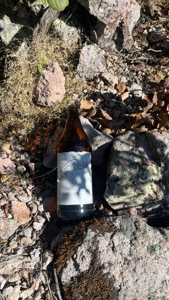
It took one hour to reach the col and another to reach the summit. The approach to the col was easy, but the west ridge had dense vegetation. Still, there were faint corridors here and there—clear signs that someone climbs this peak occasionally. That was confirmed when we found a 1.2-liter beer bottle.
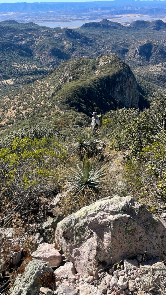
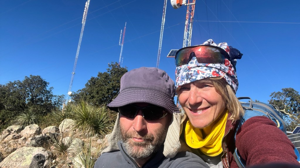
We made the summit. I was stoked. It was slow going, hands-on climbing through thick vegetation, but the views were awesome. Unfortunately, we couldn’t linger—it was time to descend. The descent was uneventful, and once back at the car, we drove a bit down to camp.
On Monday, the plan was to climb a few more peaks in the range, especially the highest one. The road was one of my favorites of the entire trip. Sierra La Silla is just epic.
We managed two more peaks. Then we considered exiting the Sierra La Silla by continuing along the road—at least in theory. The road didn’t look good where we stopped, but Ikarus suggested it might improve about 500 m farther. It didn’t. With every meter, it got worse. Eventually, we pulled the plug. The risk wasn’t worth it. We turned around and returned the way we came—once again, the right decision.