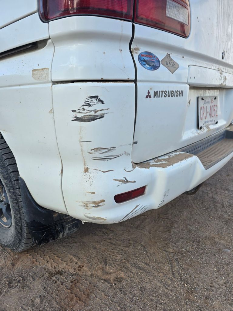
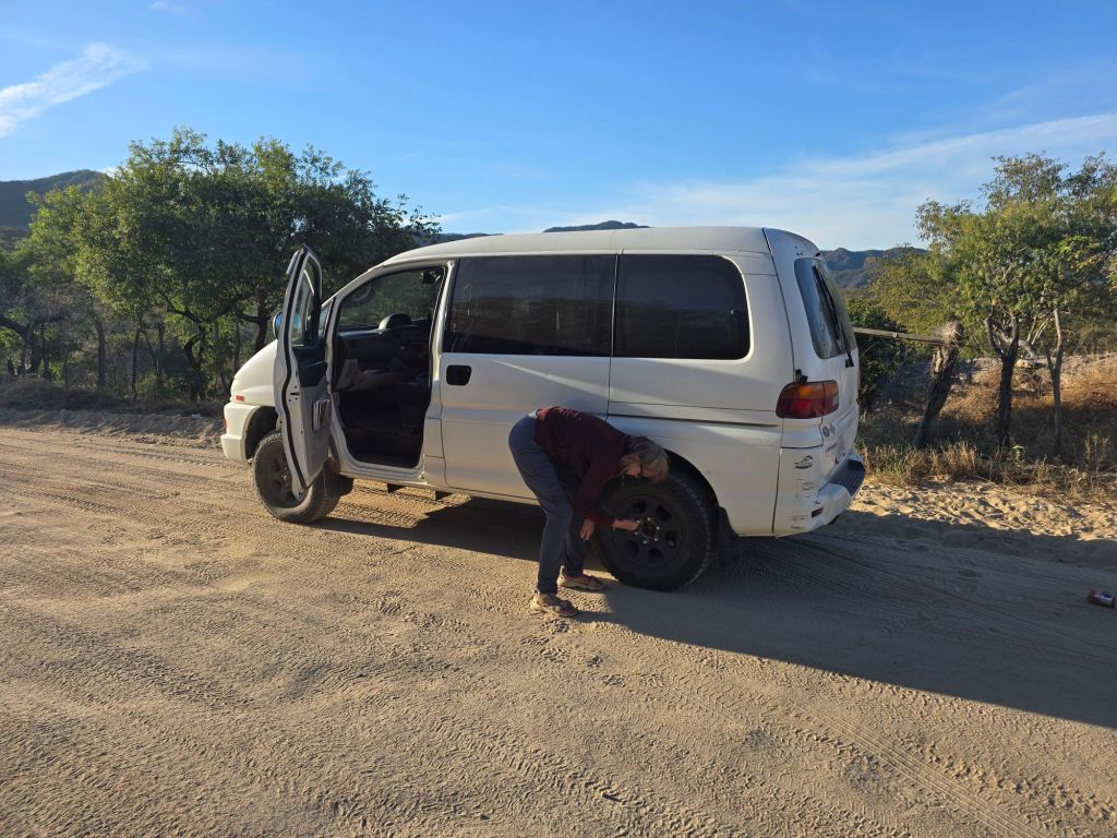
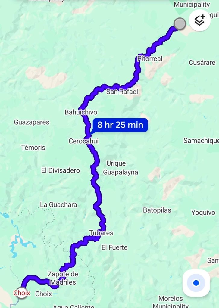
Our night in Choix was memorable. Everyone tells us to keep a low profile at night in Mexico, ideally behind a locked gate. No luck finding a campground, so we parked on a side street – security through obscurity. At 11pm, some kids ripping around on dirt bikes smacked into our bumper. We kept quiet until they left, and skulked away to find a quieter street…The road gets rough immediately after Choix, so we air down to 25 PSI. We have no beta on the road ahead to Creel, except both Google Maps and Maps.me show it as the only option. 250km of gravel?
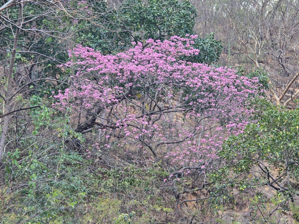
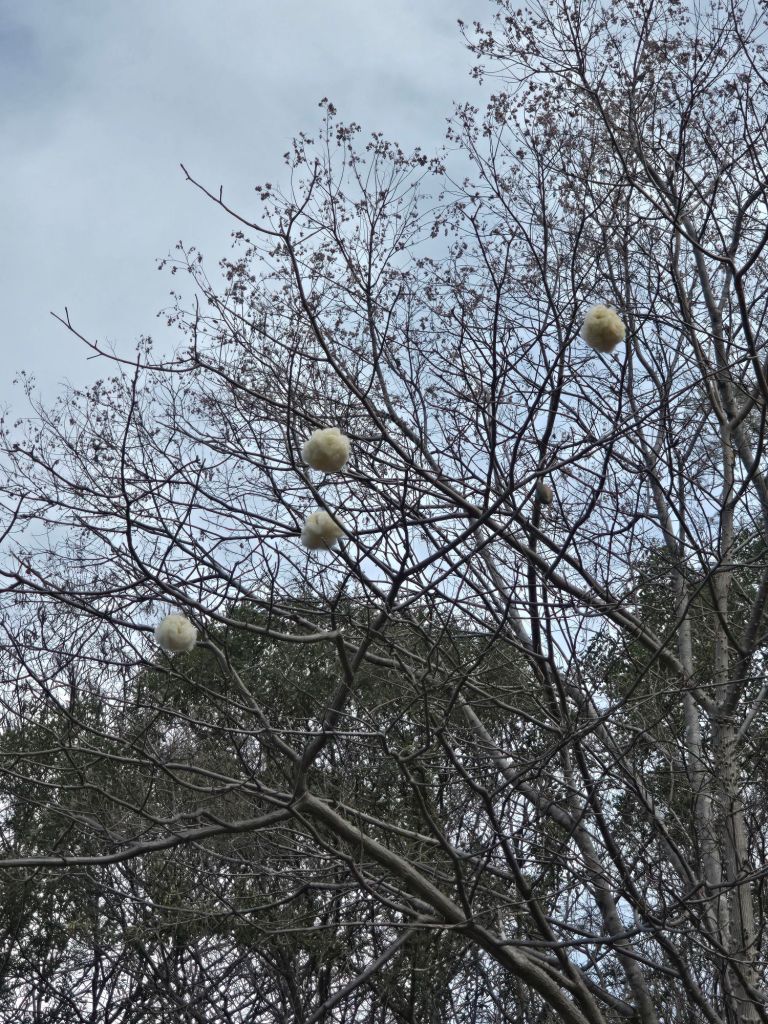
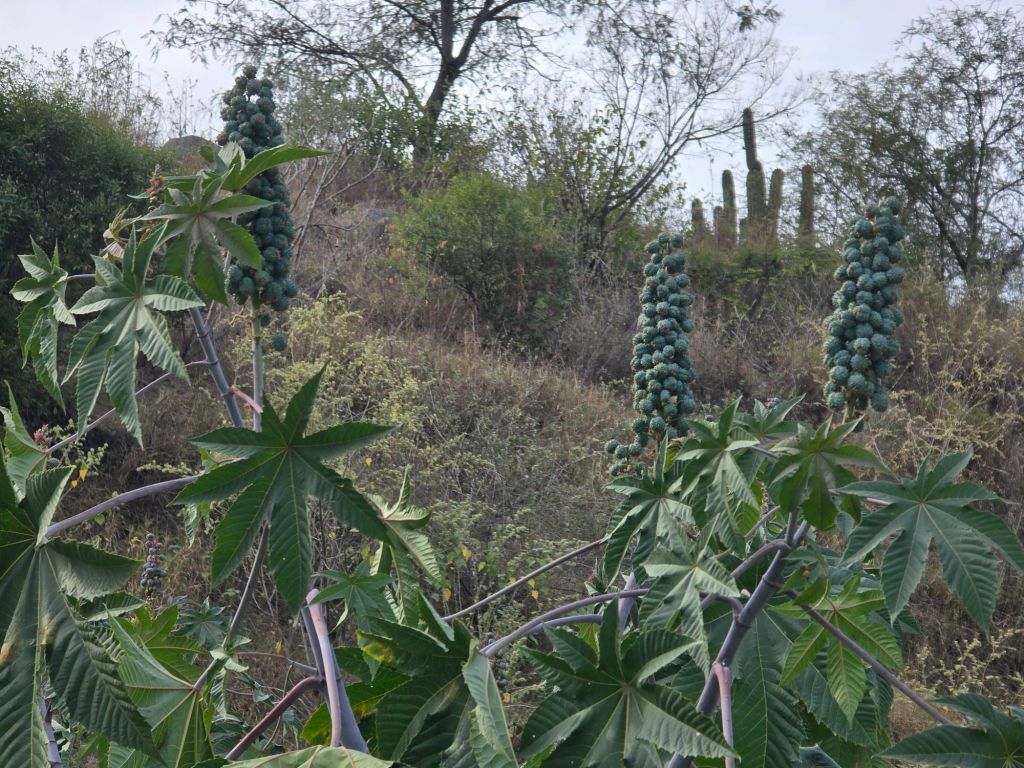
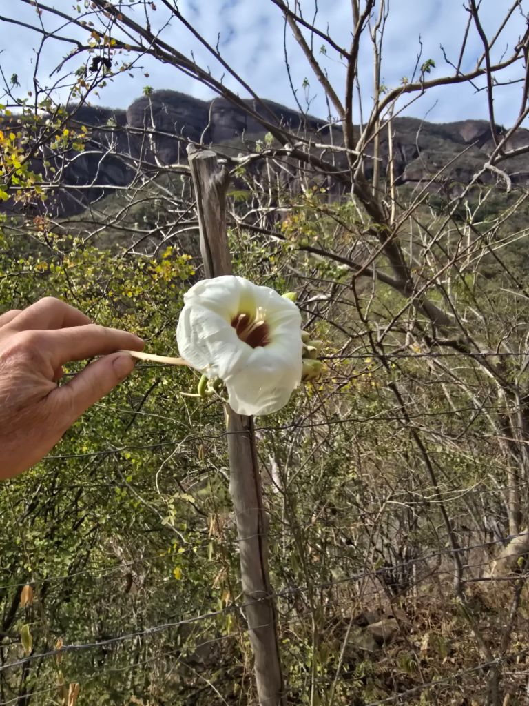
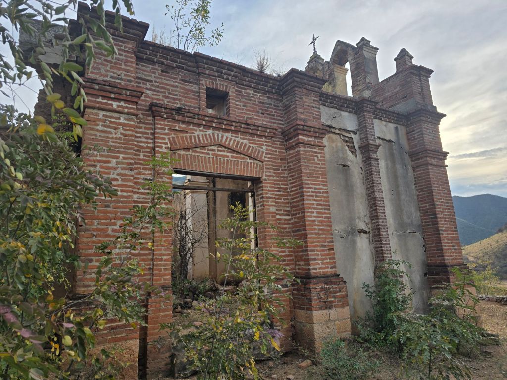
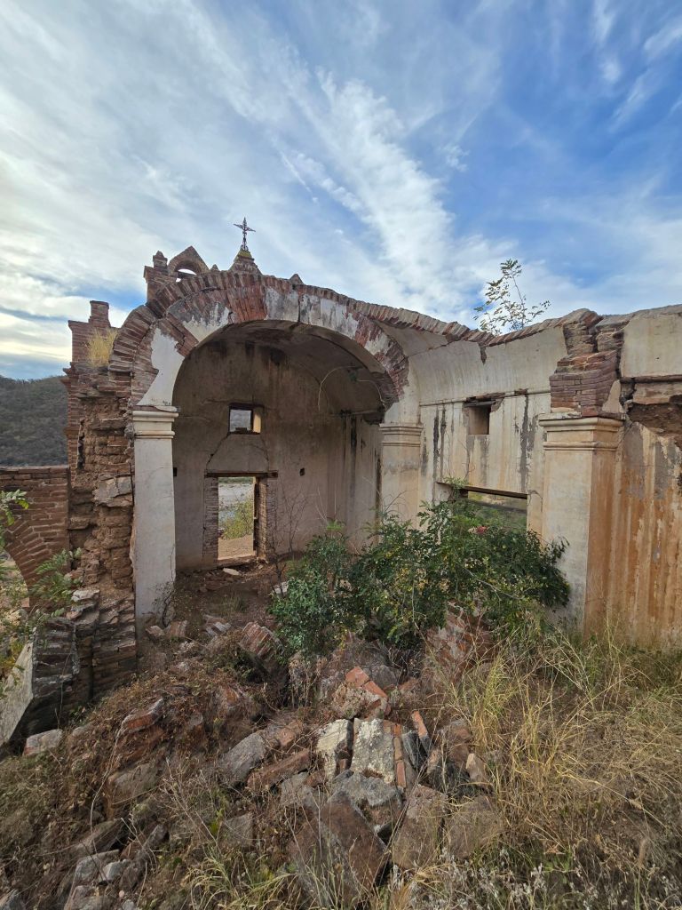
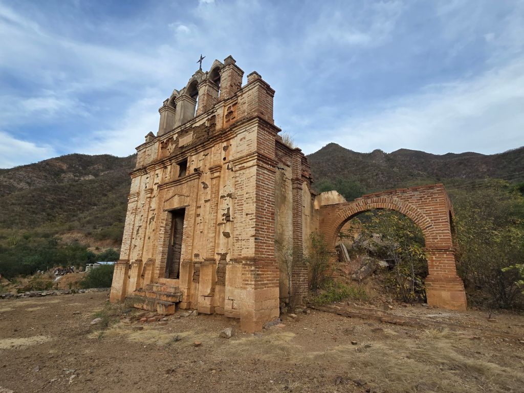
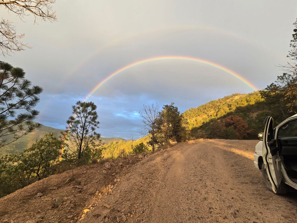
My first attempt to fly the drone while flying. Obviously, Marta is driving. Had to abandon the attempt and stop the van – the vertigo is awful, seeing what the drone is seeing while experiencing the motion of the vehicle. If I wasn’t immune to bring airsick from 1200 hours in gliders, this would be immediate loss of lunch. Lots of interesting vegetation. No nibbling allowed. It’s hard to imagine the stubbornness of people who built stuff like this, before roads, trains. They didn’t even have cordless tools…. At least they didn’t have to deal with Phillips screwsWe are map-poor on our trip – unable to find good quality paper maps, so very dependent on our screens for route finding. There was a good road through the canyons to creel, but it requires a ferry ride, so Google sent us down a very rough backroad. Leaving us wondering – where is everybody?
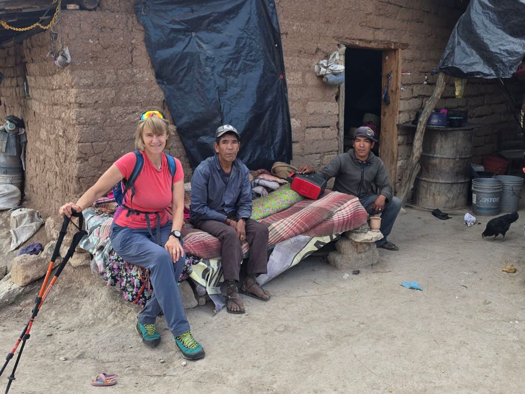
We find a pull-out and send Icarus, our first person view (FPV) drone up to scout. There are trails and a few houses so we hike up.We meet Tarahumara – the “Born to run” people. Their variant of Spanish is brutal for Marta to understand. Phillippe – young guy on the right – escorts us back down to the car, we think out of concern.
We asked Phillippe to guess how far Marta could run. His answer – “40 miles”
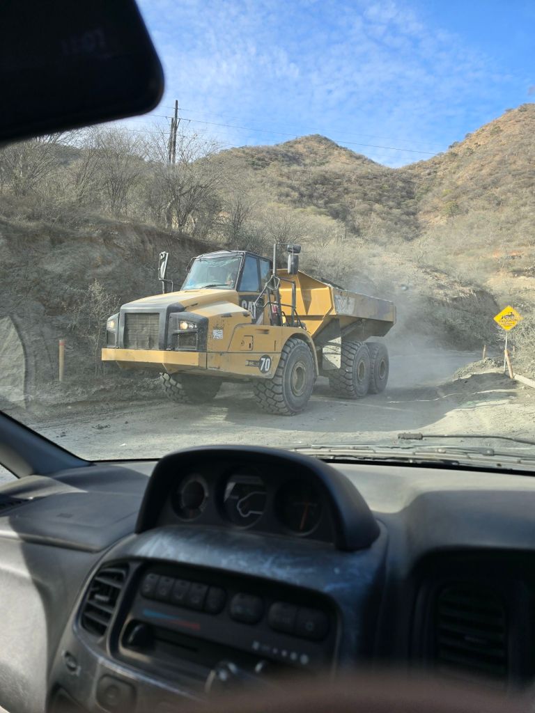
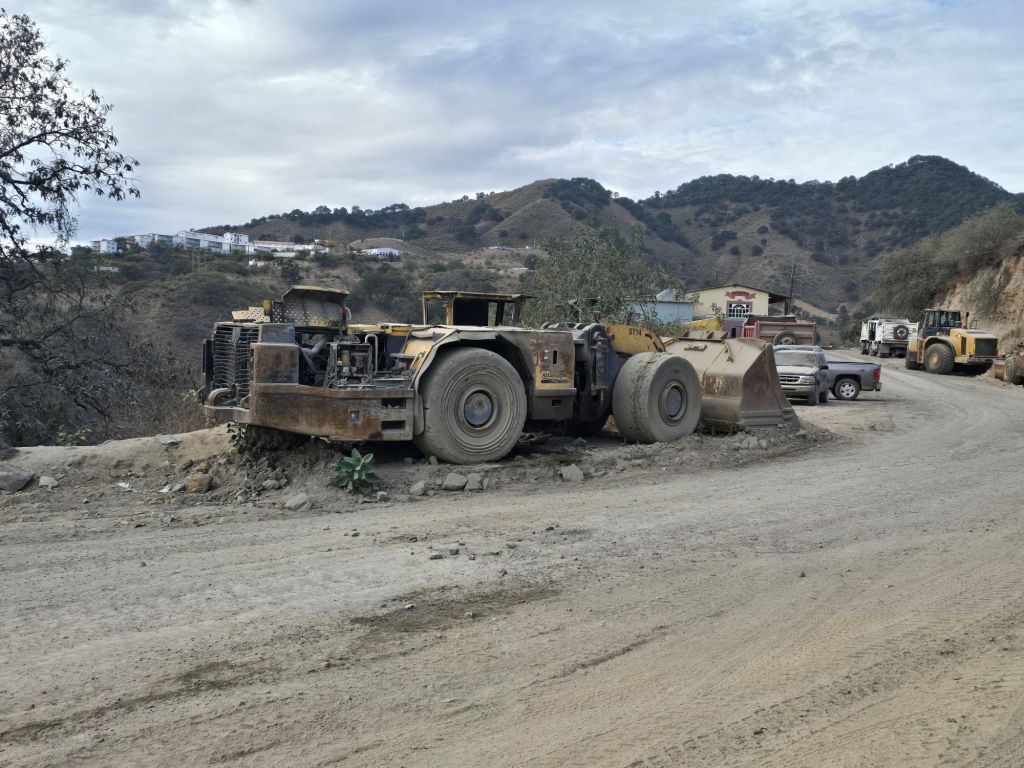
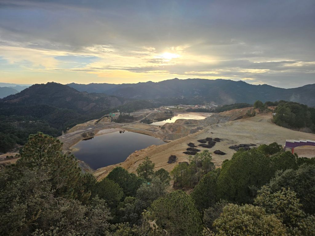
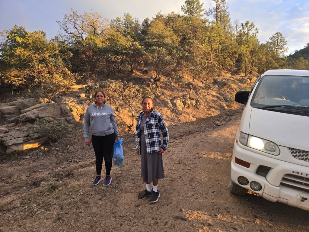
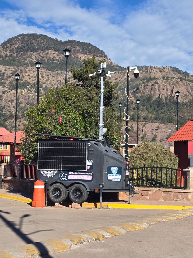
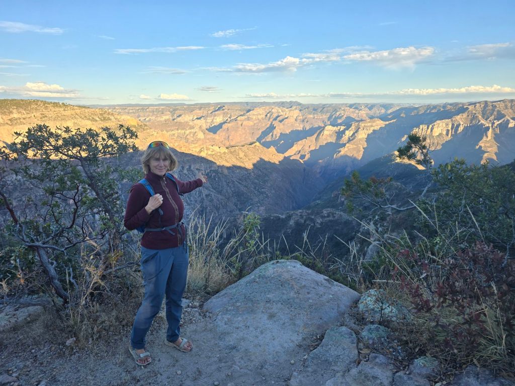
The road soon goes right through the heart of a copper mine “Bolivar”, owned by a Canadian company. Took us a while to figure out the rules of the road, which are quite simple – get out of the way of the loaded trucks going downhill.Must be an underground mine, judging from the stature of this loader. This looks like a complicated mine, competing against the giant Chilean mines to sell copper to China. Just up the hill is a big gold mine. The road starts improving, mines like this need good infrastructure.There are lots of small settlements on the steep canyon walls. We gave these ladies carrying their groceries a lift when it started to rain. Our experience of Mexico is so different from the horror show we read about on the news. It’s almost a disappointment when we get back to civilization and paved roads. Now we are close to the train route, and the towns are decked out for tourism. A standalone surveillance trailer for the police? Solar / cameras / Starlink. Now that we are on the main road paralleling the tourist train, the scenery and tourist attractions are cranked up yet again. This is likely the best viewpoint for the Copper Canyon.
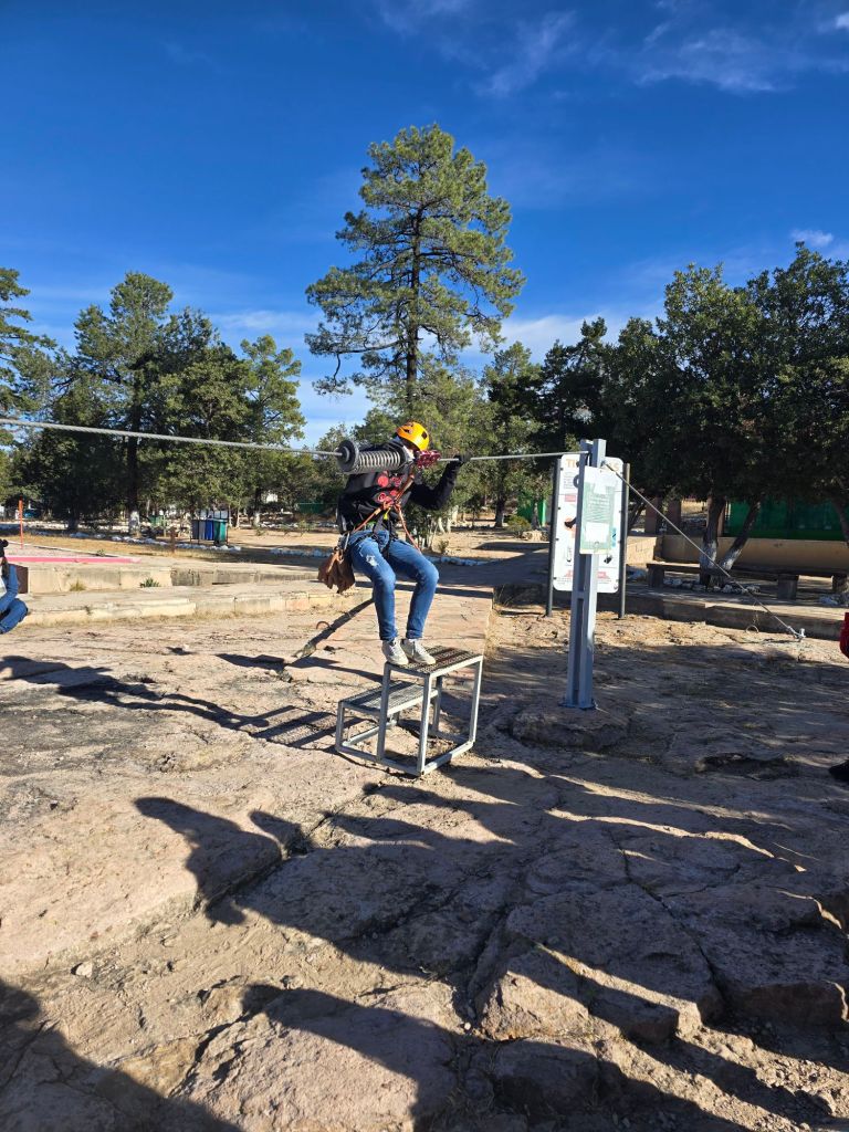
They’ve forgotten to ban drones. I feel a little self conscious flying in a place like this. Fortunately drones are very rare in Mexico, still a novelty to the locals. There is a massive tourist park on the rim of the Canyon – including a zipline with seven “runs”. And a safety briefing in Spanish. Uh oh
I had some concerns about going ziplining – especially an expedition that takes several hours. Marta is not 100%, and this zipline takes you to some very remote places in the canyon.
This run was 1100 meters long, and they sent two people at a time to give more mass. Quite often, the lighter girls wouldn’t make the next platform and would have to pull themselves the last several meters.
Copper Canyon challenged what we thought about Mexico. The attractions are so well run, the towns so clean. Full of thousands of Mexican tourists, we were the only “gringos” to be seen.