This ultra prominent peak came to my attention before our very first trip to Baja California in 2023. There are 3 so called ultras (over 1500 meters prominence) in Baja. They were among 2022 highlights of Steven Song and I hoped to try summiting all of them. A year later and we did not yet make any attempts. Why?
Picacho del Diablo (3095m) is the most northerly one, and the highest peak in Baja. We saw it from a distance in December 2023 and were impressed with its almost Himalayan vertical gain.
But the weather did not cooperate. We came across a huge storm rolling from the Pacific. It rained for few days. This was the only rain we saw in Baja in 10 weeks of travel, but at that time it was the beginning of our journey and we did not know how special the rain was. We hiked few high points in San Felipe desert and headed south without even attempting El Diablo.
Few weeks later, in January 2024 we drove by the 2nd ultra, Volcán Las Tres Vírgenes 1951m), discouraged by the presence of signs ‘Biosphere’.

Earlier that day we were escorted by a ranger on a horse from a canyon located by the San Francisco mission, photos of our passports taken, a warning issued. We did not feel like pushing our luck.

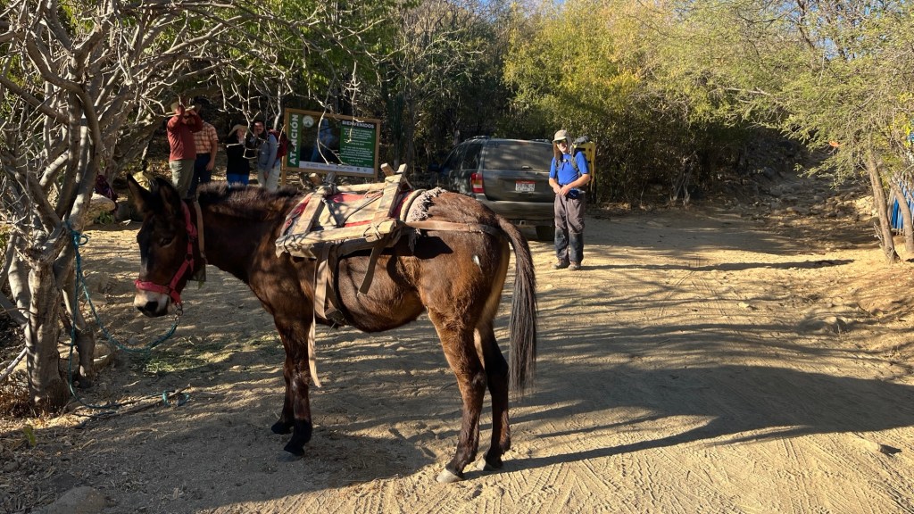
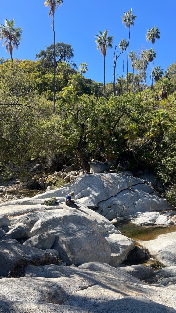
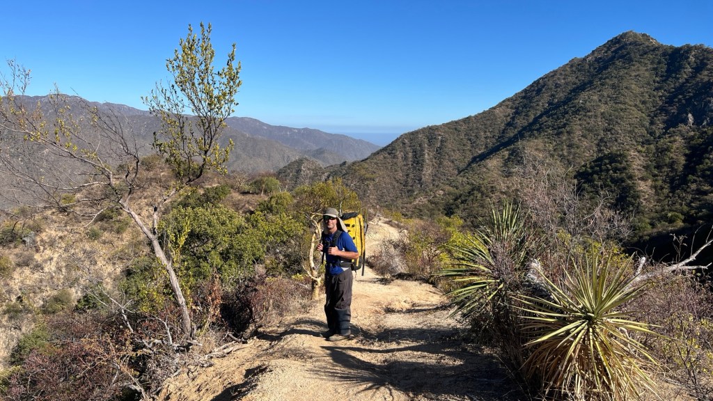
And here in January 2025 we were in the southern tip of Baja with Sierra la Laguna High Point so close. Sierra la Laguna is a very nice mountain range, and there are actually trails! You can even do multi day traverses of the range. As much as trails are not as interesting to us as explorations, we must admit we were rather beat by continuous fight with thorny vegetation. Trails sounded just awesome to us. We drove the beautiful road to San Dionisto ranch inhaling spectacular scenery. At the end there is a majestic ranch run by Isabelle and Clarence, well worth a visit. They only opened to visitors couple of years ago but they sure converted this place to one of the most special places in Baja.

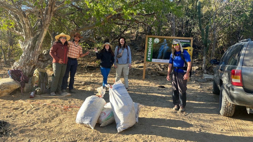
We learn that to hike in Sierra la Laguna biosphere we need to purchase 120 pesos (US$6) bracelet per day per person. The price for foreigners recently doubled. In addition the trail to Pichacio de la Laguna crosses a private ranch which charges crossing fee of 600 pesos (US$30) for 12 hours per person. We don’t mind $6 US per day fee, but $36 per person per day is just not friendly. To put it into perspective for the price of 3 hiking days here we can buy a yearly family pass for all the Canadian National Parks.
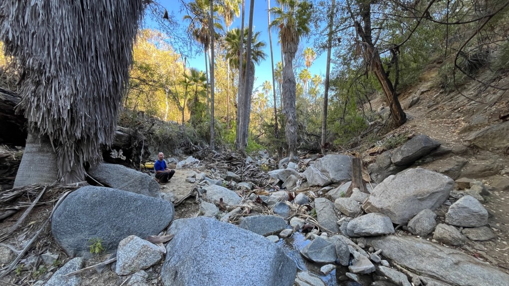
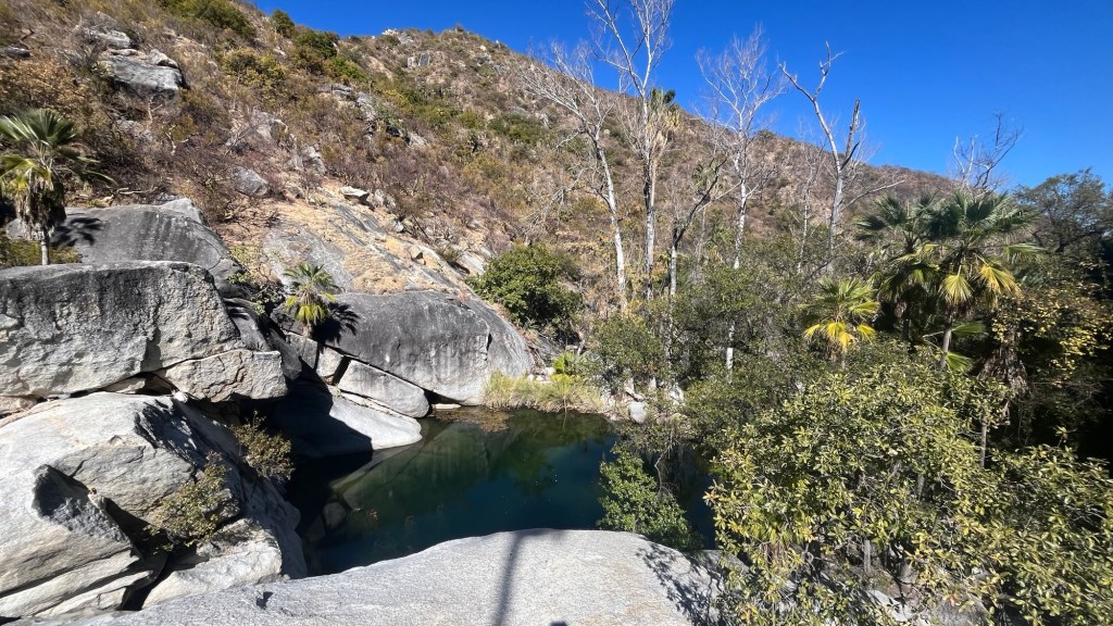
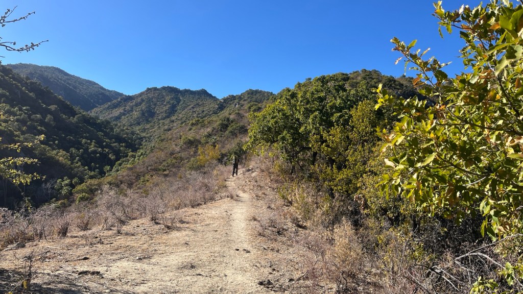
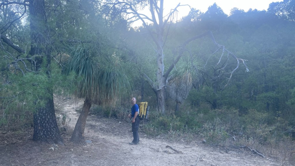
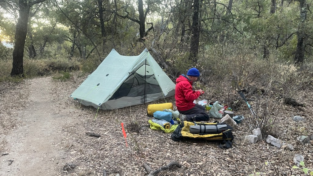
Our initial plan to hike several days here changed. We will only attempt the highest peak, Sierra La Laguna High Point (2077m) and return. This still a long trip, about 36km return and 2350m elevation gain and we decided to split it into 2 days. The only concern is water but our hosts assured us that at 10km there is an oasis Poza de Pepe which has plenty of it.