When we turned off the main Hwy 1, few kilometres passed Ciudad Constitución, onto a dirt road towards San Luis Gonzaga Chiriyaqui, mountains were not our goal. Just like the previous year we were to crisscross Baja peninsula, from the Sea of Cortéz to el Pacifico, and then again. So much to explore here.
San Luis Gonzaga Chiriyaqui was our first stop. The road to it crosses the Magdalena Plain of Baja California Sur. The road to the mission is fairly flat, but the washboard is bad. We drove slow.
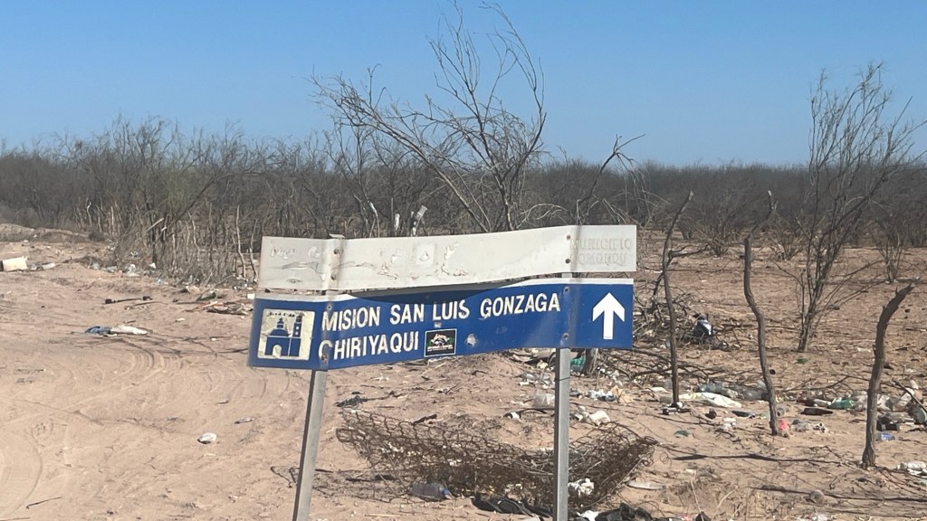
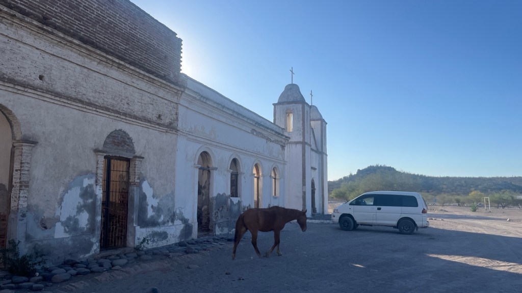
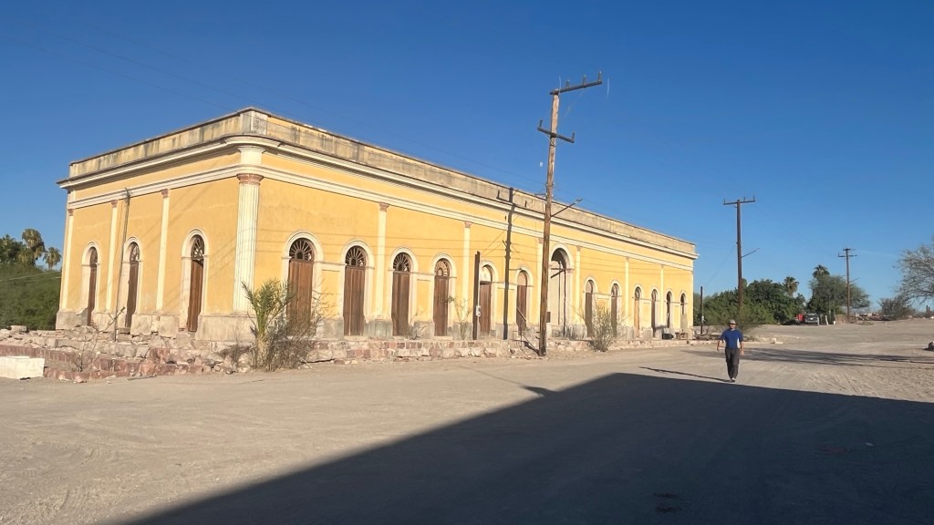
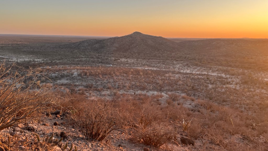
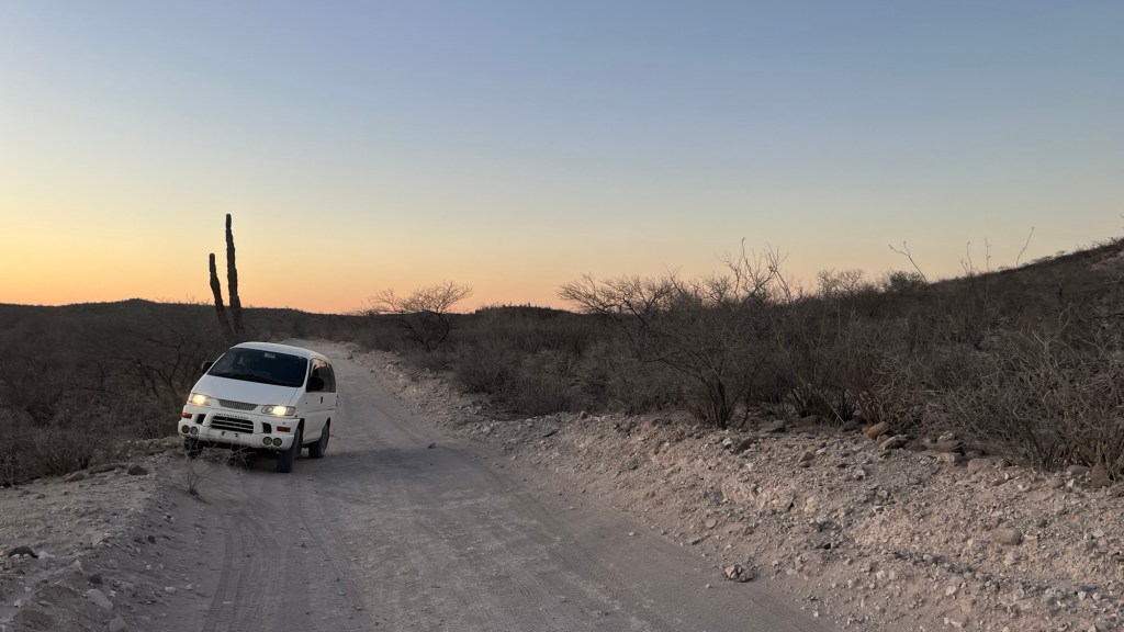
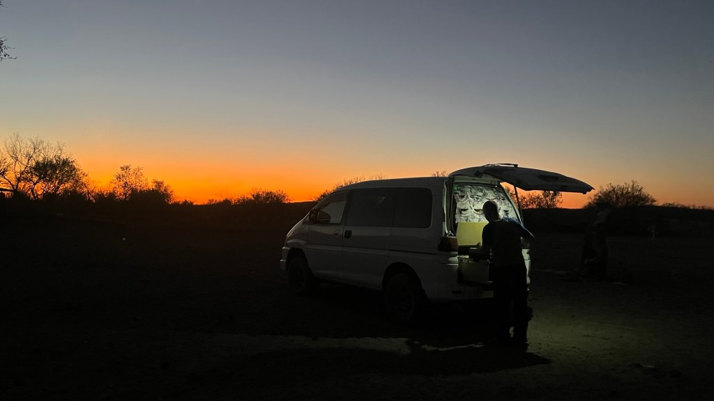
Road sign at the turn off shows there is a mission.22 miles later we arrive at the abandoned mission site (1737-1768). A small village is located here, at the oasis named by Guaycura Indians Chiriyaqui.It is our understanding that other buildings were built after the mission was converted to a large cattle ranch and a stop on a Camino Real on the route to La Paz.This oasis allowed for having goats, sheep, cattle, horses and mules. A small plot was used to grow cabbage, melons, turnip, sugarcane and later wheat and corn (ref David Kier, Baja California Land of Missions).We left the mission rather late. Tired of driving I was was desperate for a walk. In the land of no named hills and peaks we spotted „Loma de Callas„ in the map. It was close to the road. I did not even change my sandals!?!?. I thought this was the named high point but it was not. I ended up traversing a short ridge.Sandals?!?!? Mistake. Don’t do this again- even if the land looks easy everything here is aggressive – proper shoes are a must. I should have remembered from our last trip here ;short memory)At the top of the Loma (knoll) de CallasSun will set soon, I better hurry up.Almost there, and my feet are still intact despite sandalsChester is waiting in the car and we move to to look for a place to spend a night.Here it is, another big blue room with a beautiful light of disappearing sun. Another wonderful day in Baja.