Mount Asahi-dake, the highest peak on Hokkaido Island, was the final summit on our must-do list in Japan. We only had one chance to climb it. Luck did not seemed on our side—it rained heavily during our journey, pouring nonstop throughout the day and only easing by evening.
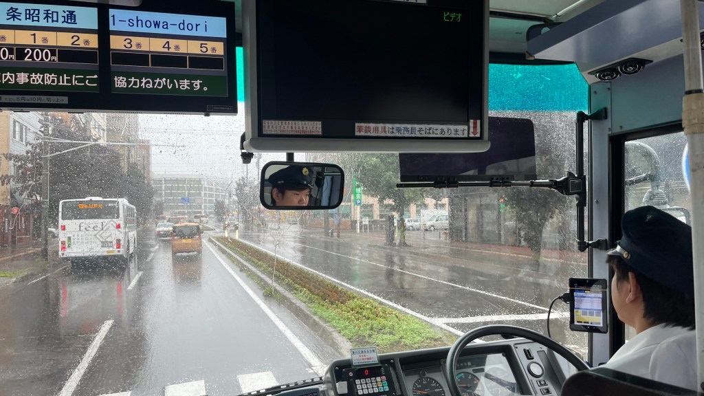
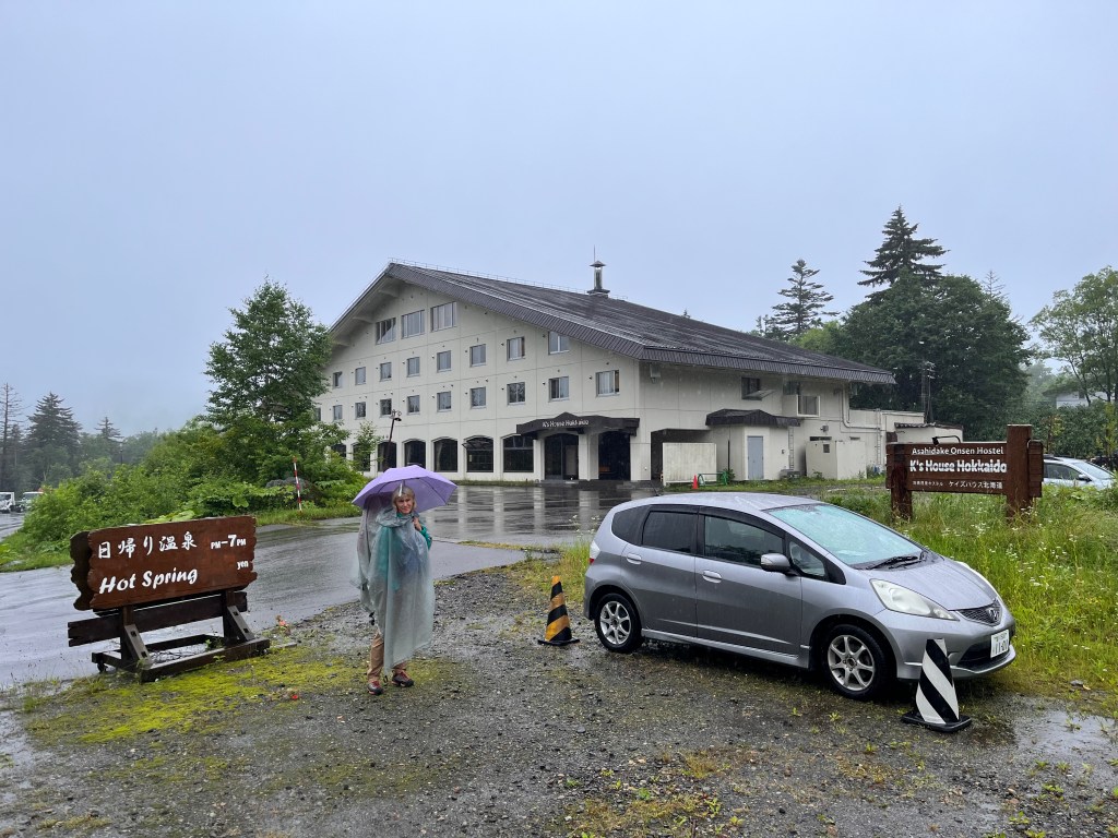
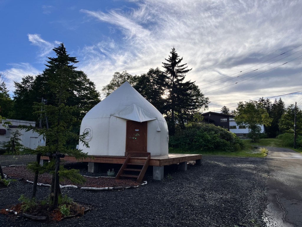
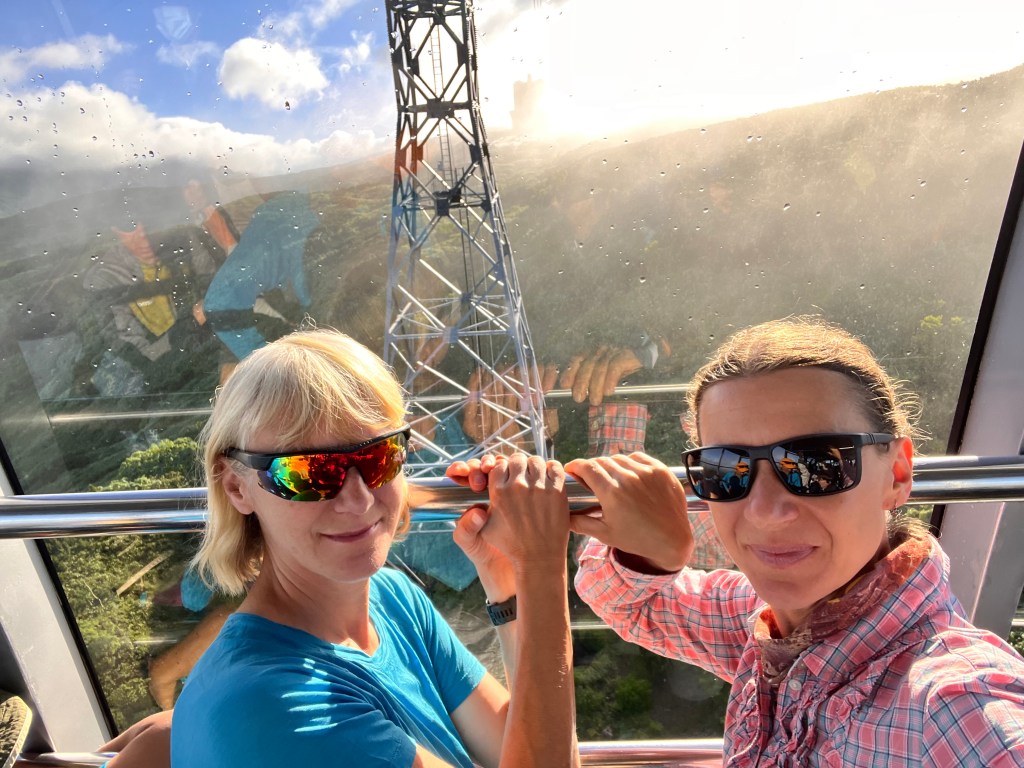
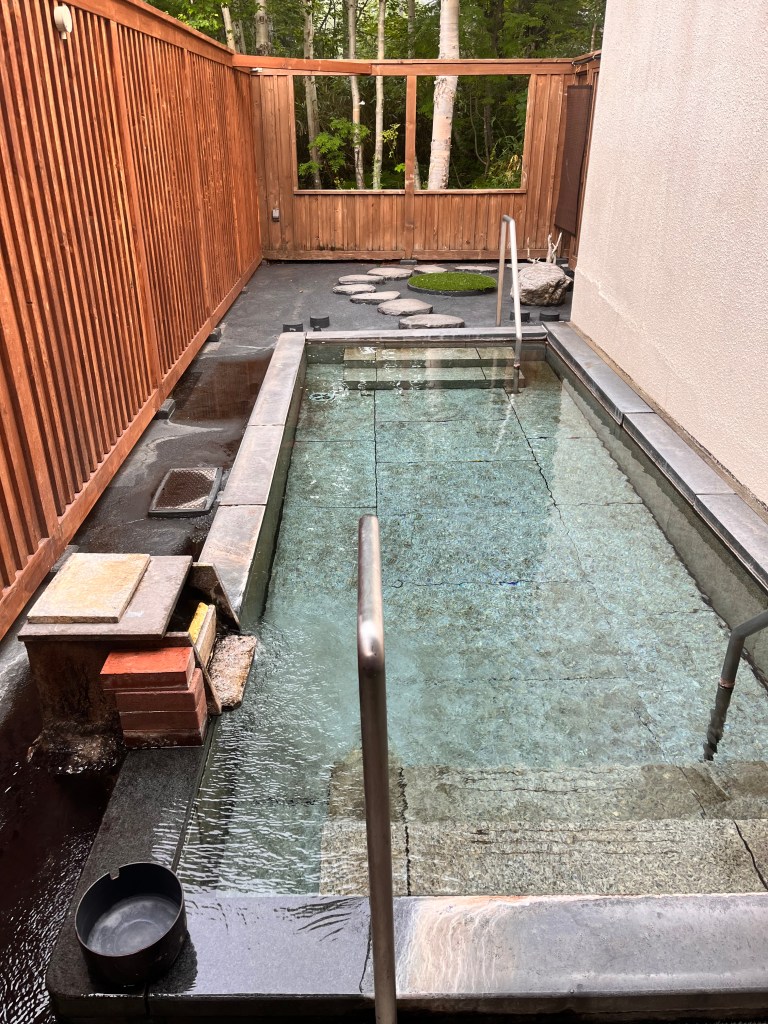
Zosia Zgolak and I arrived at Asahidake Onsen, a short 15-minute walk from the Asahi-dake Ropeway, via bus #66 from Asahikawa—a scenic ride of about 1 hour and 50 minutes. The onsen had been recommended by our traveler friends, Joanne and Tim, and it surpassed our expectations. The hosts were wonderfully accommodating, letting us exchange the quirky yurt we had booked through Booking.com for a more conventional room with a simple washroom. They even allowed us to check in immediately.
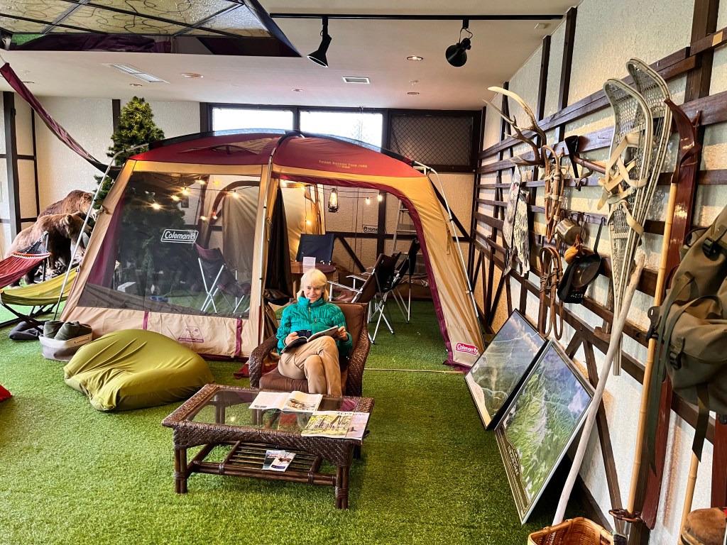
Feeling like I was coming down with a cold, I decided to take a full rest day. I spent it in the lounge, watching the rain pour down and reading books. As the day went on, I started to doubt whether I’d feel well enough to hike the next morning.
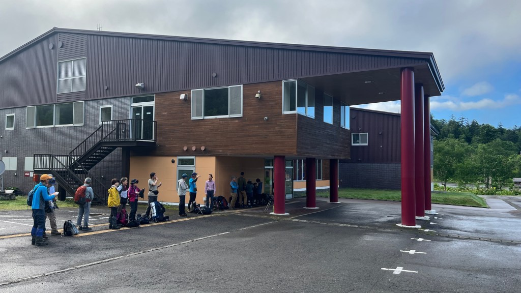
In the late afternoon, Zosia went to check the ropeway’s first departure. It was set for 6:30 AM, with ticket sales starting at 6:15 AM, but we were advised to arrive even earlier to beat the crowds.
And so we did. By 6:00 AM, we were standing in a quiet lineup for the first ride. I was feeling better by then and hopeful that I could make it to the summit. While waiting, we struck up a conversation with an older hiker from Tokyo. He had planned to hike and camp for several days but had to cut his trip short due to the relentless rain. Interestingly, his professional background was in mechatronics.

The ropeway operates with a single gondola, and the first ride was completely packed with passengers. At exactly 6:30 AM, it began its steep ascent—and we were on board!
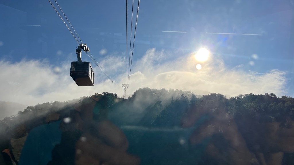
Weather looked promising too!
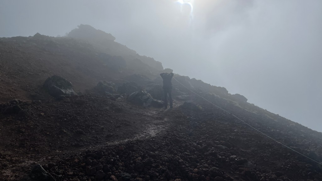
Once we reached the top of the ropeway, the first surprise wasn’t the promising weather or the view of the beautiful peak—it was the brown flush-water in the toilets. Although the sign explained that the water used for flushing was recycled, I was still taken aback when I saw it. I regret not taking a photo of the brown flush-water!
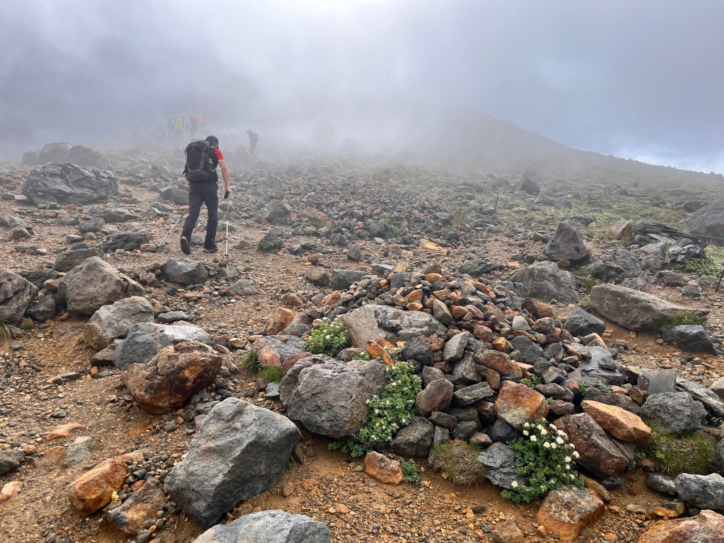
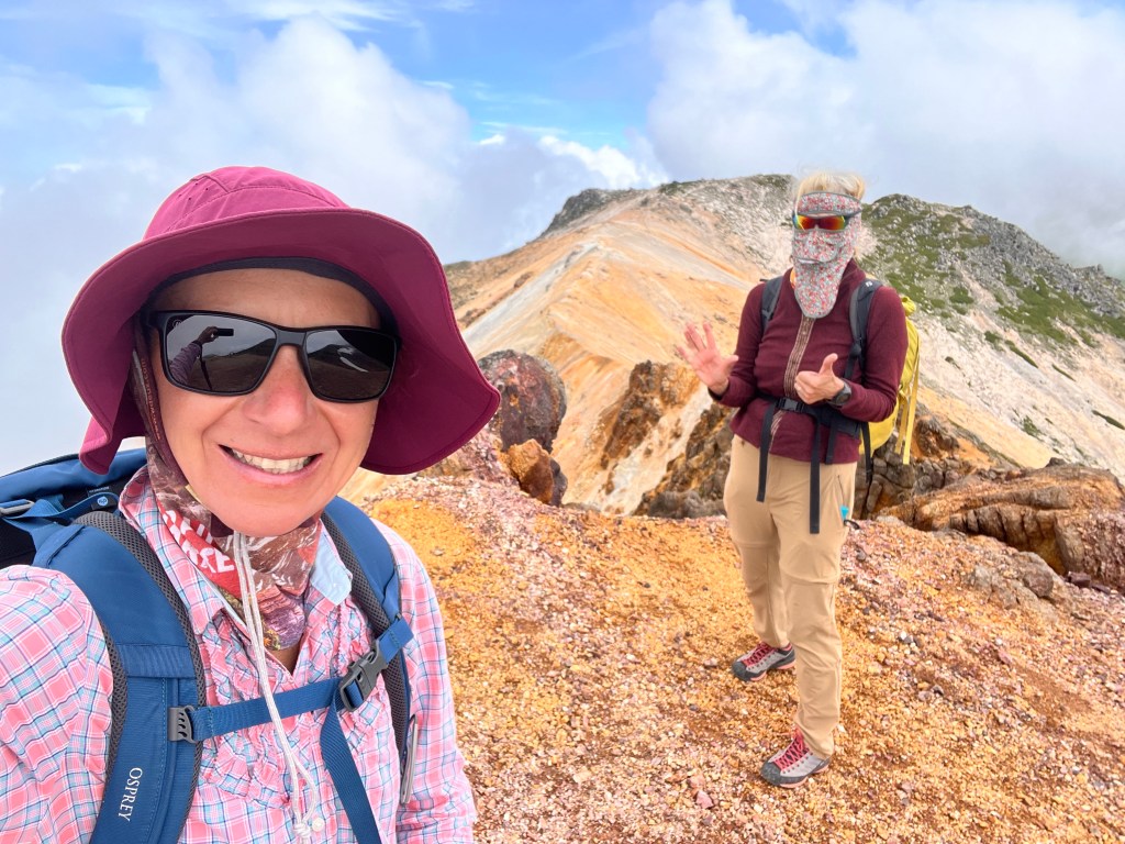
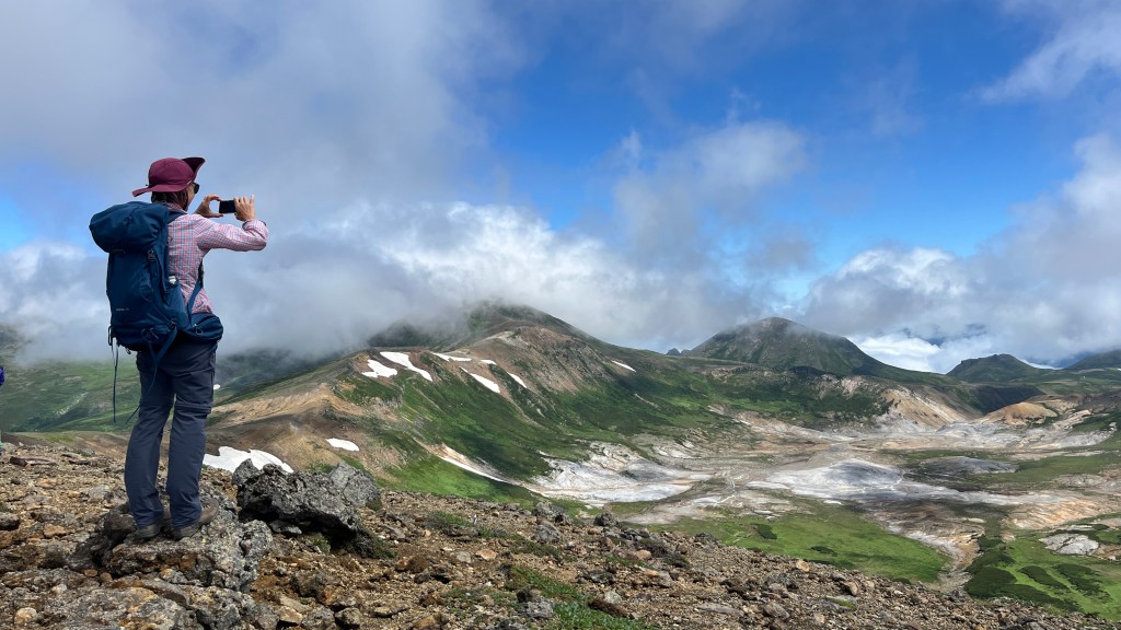
After our brown-toilet break, we finally stepped outside. It was still a bit foggy, but it wasn’t raining, and patches of blue sky made us smile. The trail was easy to follow, and we joined a quiet crowd of mostly Japanese hikers. Mount Asahi-dake is an active volcano, and we soon stopped at a spot where we could admire the billowing “smoke” of water vapor, carbon dioxide, and sulfur gases.
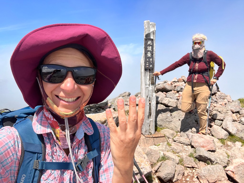
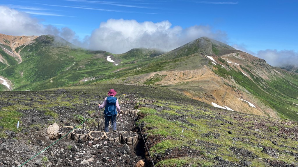
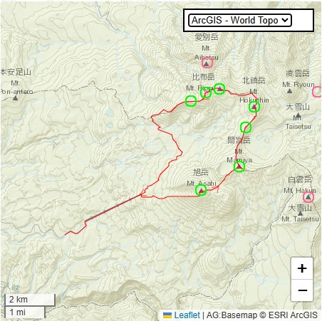
After that, the trail steepened, and we slowly left the crowds behind. The steep path continued all the way to the summit of the highest mountain on Hokkaido Island.


Zosia and I were stoked. Despite the odds, we had managed to climb the highest mountains on Japan’s four largest islands: Honshu—Mount Fuji (3776m), Shikoku—Mount Ishizuchi (1982m), Kyushu—Mount Nakadake (1791m), and now Hokkaido—Mount Asahi-dake (2291m).
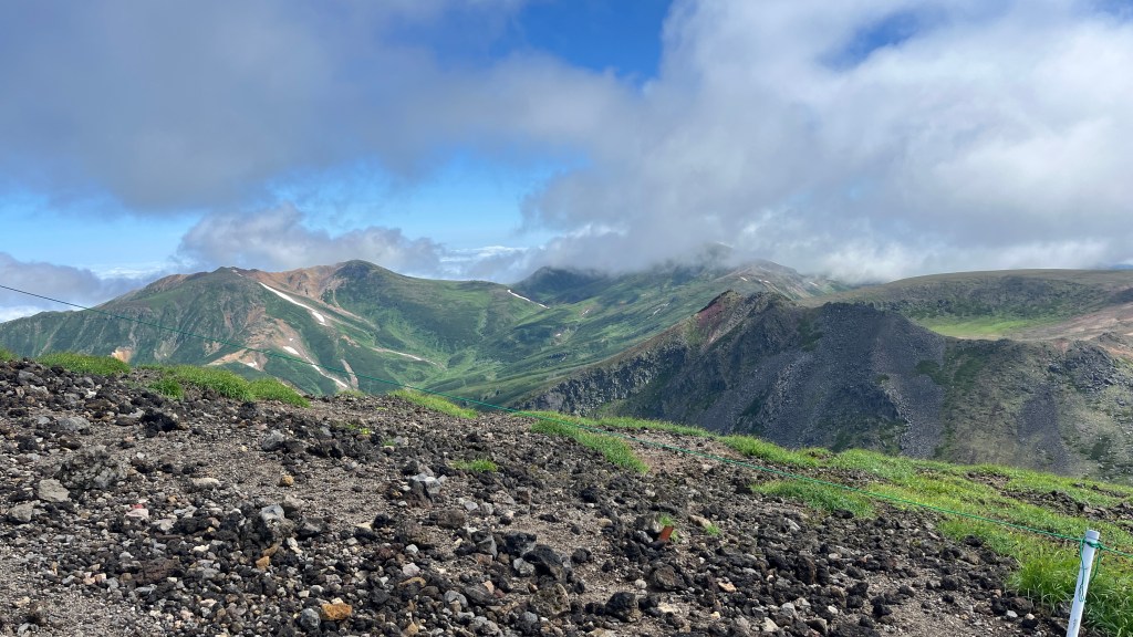
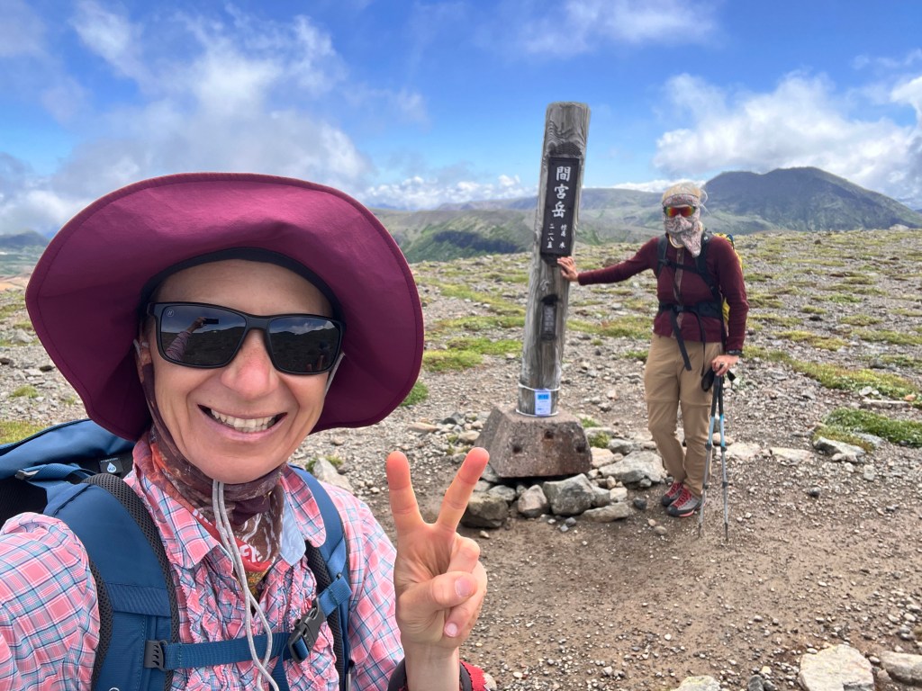
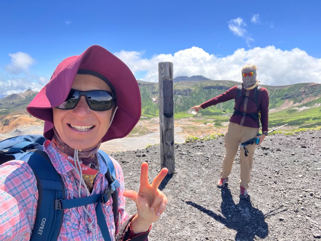
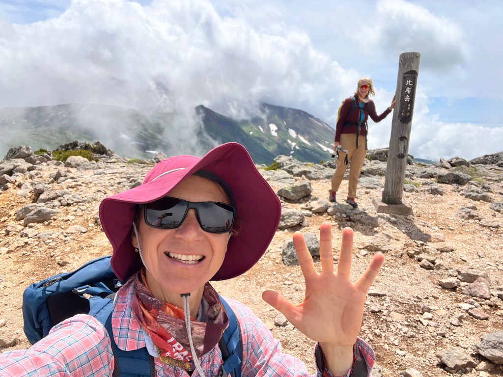
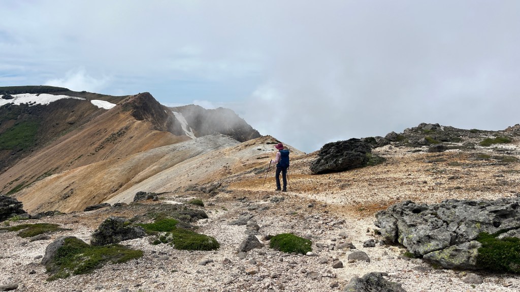
We were lucky to reach the summit before the crowds arrived and to witness the fog clearing. The day was still young, the weather was good, and the scenery was mind-blowing—we could finally see something! The decision was easy: let’s continue to the next high point, Mamiya-dake (2185m).
This pattern continued throughout the day—reach the next high point, assess the weather, check how we were feeling, consider the time left before the last gondola, and then move on to the next peak.

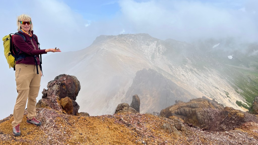
It will come to you as a surprise that we modified our loop to bag as many peaks as possible. The final count was 7.
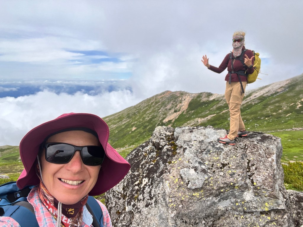
On the first two peaks of the day, we had company. By the third peak, we passed a single hiker descending, and for the rest of the peaks, we had the trails to ourselves—not even bears disturbed our peace. The trail in this section was less maintained, with encroaching vegetation that often obscured even our boots. We also encountered a few short, easy scrambling sections along the way.
The fog would occasionally roll through the ridges, making the scene even more interesting as it uncovered and then covered the terrain and high mountain ranges around us.
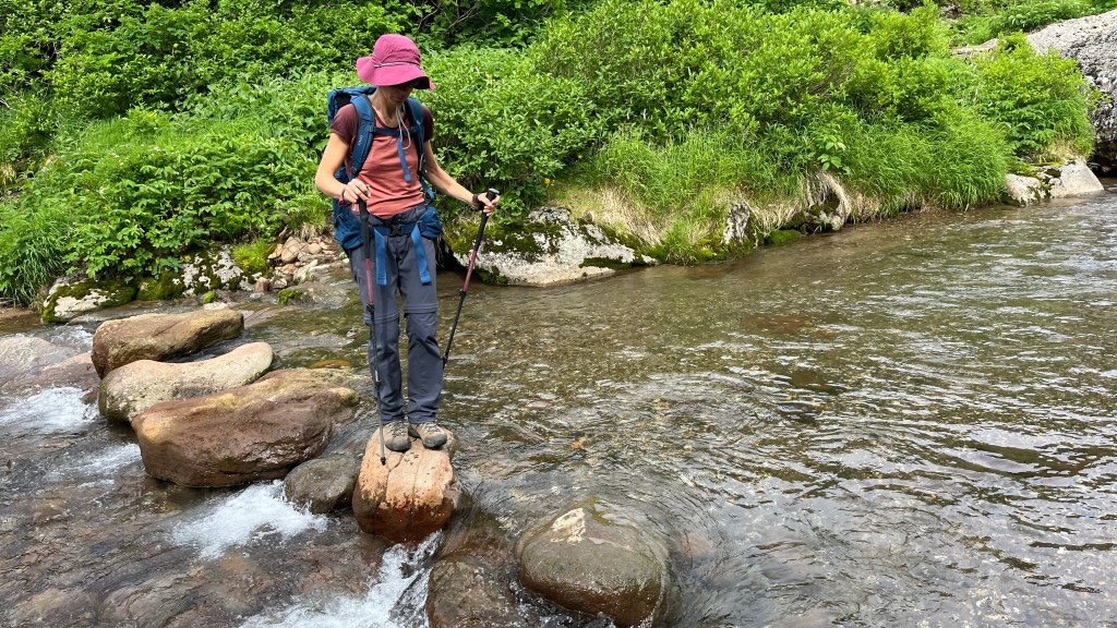
Once we descended into the valley, we had to cross a stream. We were surprised to find no bridge, just large stepping stones. Fortunately, the water level was low—otherwise, it could have been a challenge.

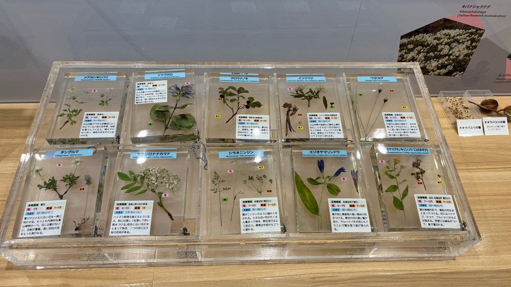
We easily made it back to the gondola, an hour before the last ride. This gave us time to pay a brief visit to an interesting visitor center located not far from the gondola building.


Statistics
- Distance: 20km
- Elevation gain:1200m
- Time: 9hrs 30min
- 7 peak day
- Marta @ Peakbagger.com
Photo credits: Marta Wojnarowska and/or Zosia Zgolak
