This mountain seemed determined not to be climbed. The day before, it rained so heavily that our pre-booked scenic train, the so-called Joyful Train, from Fukuoka to Yufuin was canceled. It was also pouring in Hiroshima, where we started our journey that day.
In Fukuoka, we were warned that the next train heading toward Yufuin would likely be canceled as well. The JR service center recommended taking a bus instead, as they couldn’t guarantee the train would make it through the mountains in such conditions. However, we had our JR passes and were determined to use them rather than pay extra for bus tickets.

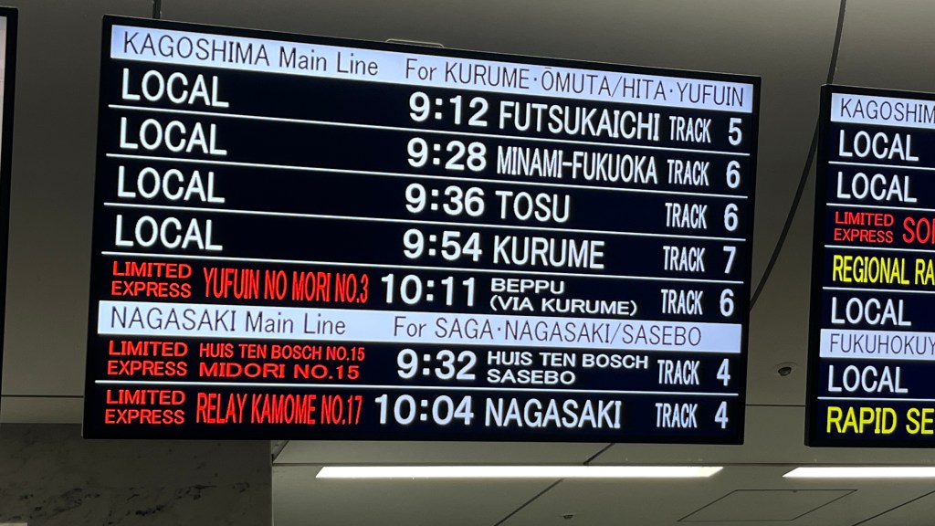
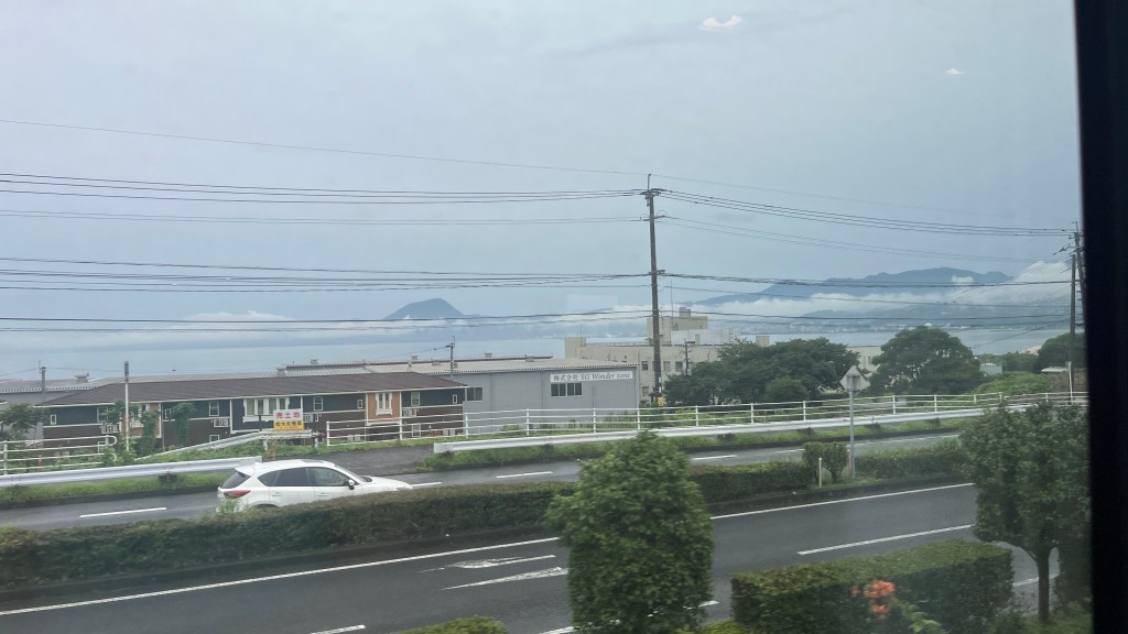
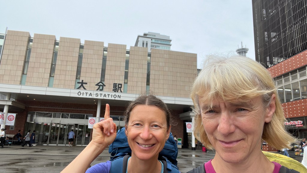
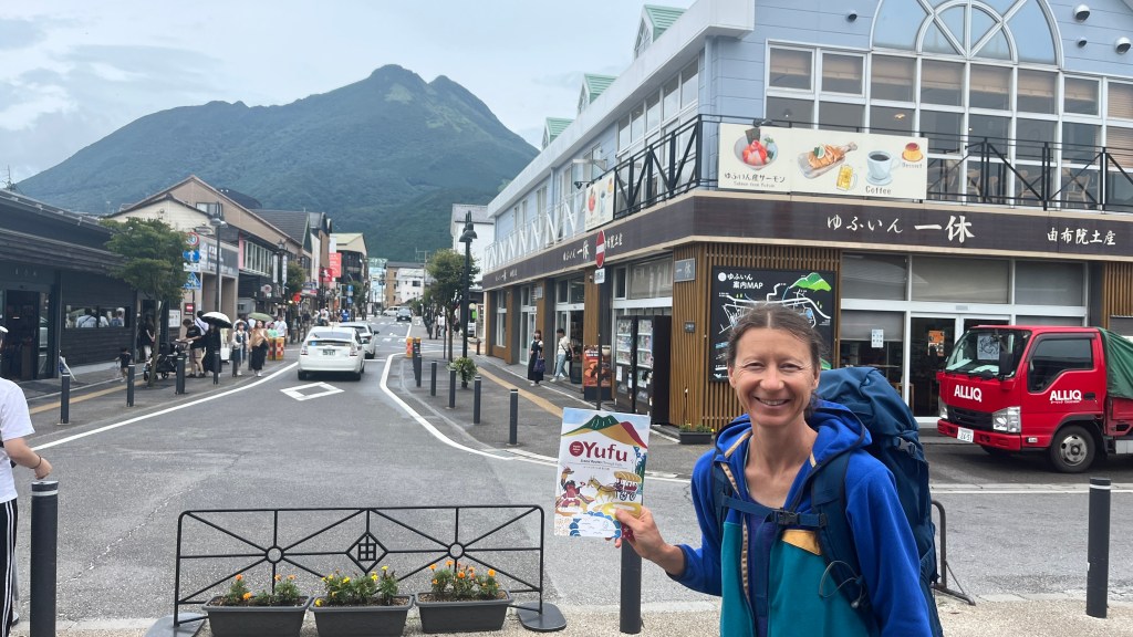
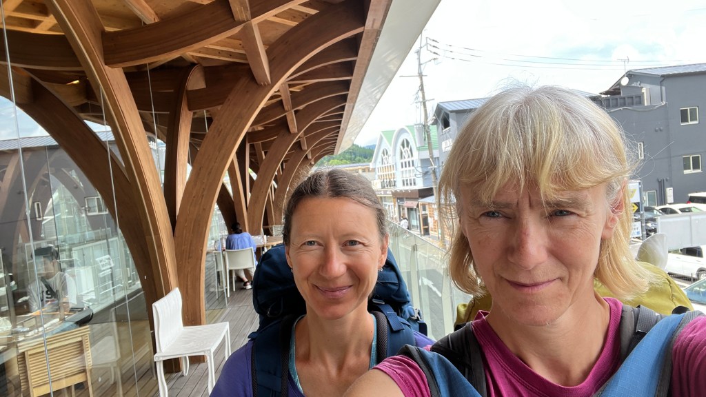
Instead of traveling from Fukuoka to Yufuin through the mountains, Zosia Zgolak and I decided to take a train along the coast, hoping that by the time we reached the Oita station, the weather would improve. From there, we planned to take a local train to Yufuin. This gamble paid off. By the time we arrived in Yufuin later that afternoon, the sky had cleared.
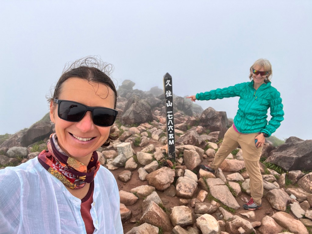
We didn’t realize that Yufuin, in Oita Prefecture, is a popular Onsen resort, known for its hot springs, museums, shops, and coffee shops. However, we had come to Yufuin with a different purpose: to climb the highest mountain on Kyushu Island, the “Roof of Kyushu,” Mount Nakadake, which stands at 1,791 meters.
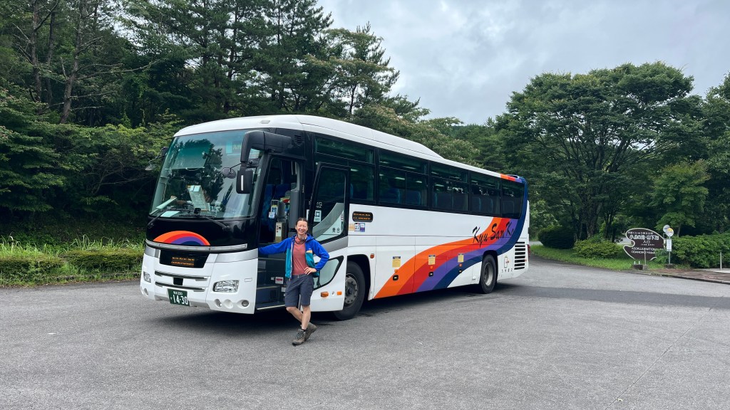
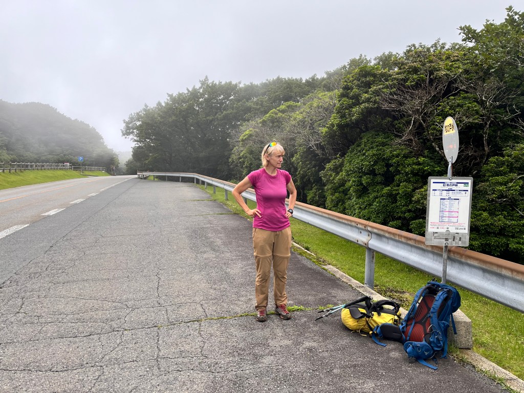
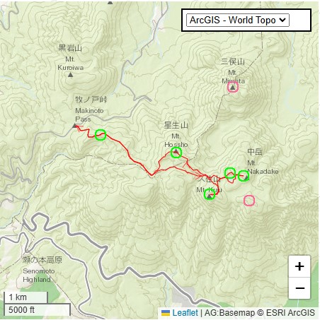
The next challenge was figuring out how to get to the trailhead at Mukinoto Pass in Aso-Kuju National Park. There were only four buses in the morning, with the earliest departing at 9:00 AM, getting us to the trailhead by 10:00 AM. The latest return bus was at around 3:30 PM, leaving us just 5 hours to reach the summit and catch the bus back.
We tried to reserve a taxi for 5:00 AM, but our efforts were unsuccessful. Our hotel hostess had left for the day, so we walked to another hotel for help. One of the two ladies there spoke good English. She called the taxi reservation line for us. The first company declined our request. The second company agreed to take us, but only at 7:00 AM, their starting time. Then they pushed it to 7:10 AM. When they learned we were staying at another hotel, they asked our hotel to call after 7:00 AM the next day. The price quoted was about $100 Canadian. Eventually, we found out they didn’t even drive to Mukinoto Pass, only to the train station. An interesting way of saying, “We don’t want your business.”
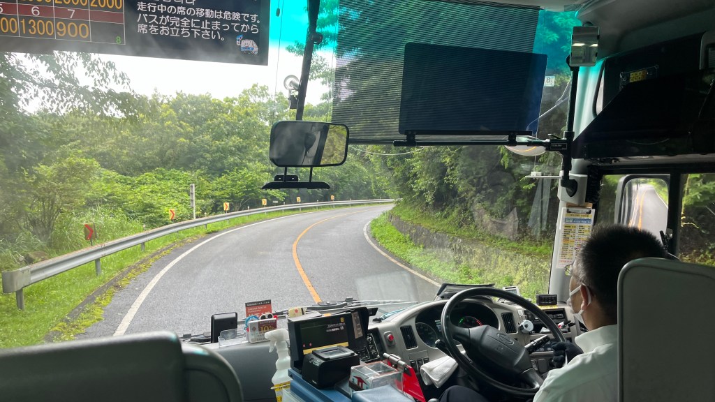
With no other options, Zosia and I had no choice but to take the 9:00 AM public bus, hoping we could get on without a reservation. Another gamble that worked! The bus arrived on time and was almost empty, with only four people on board. The one-way fare was 1,700 yen ($17 CAD), and the road to the trailhead was scenic.
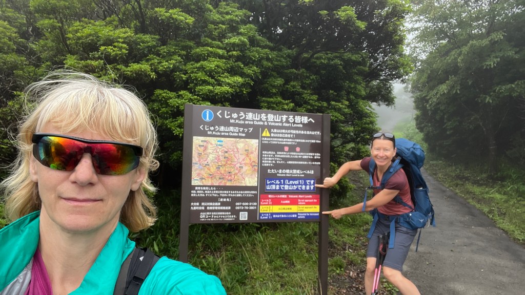
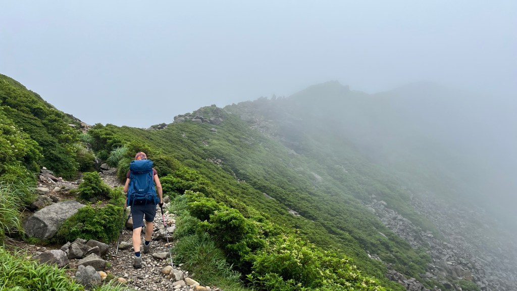
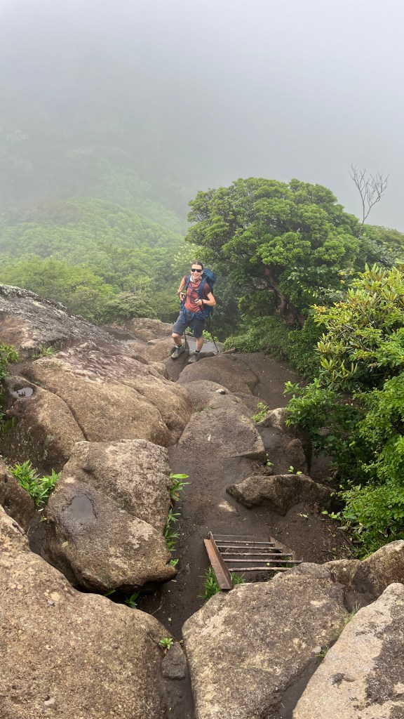
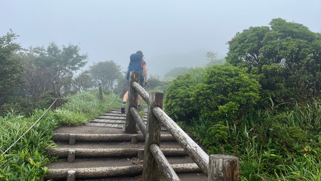
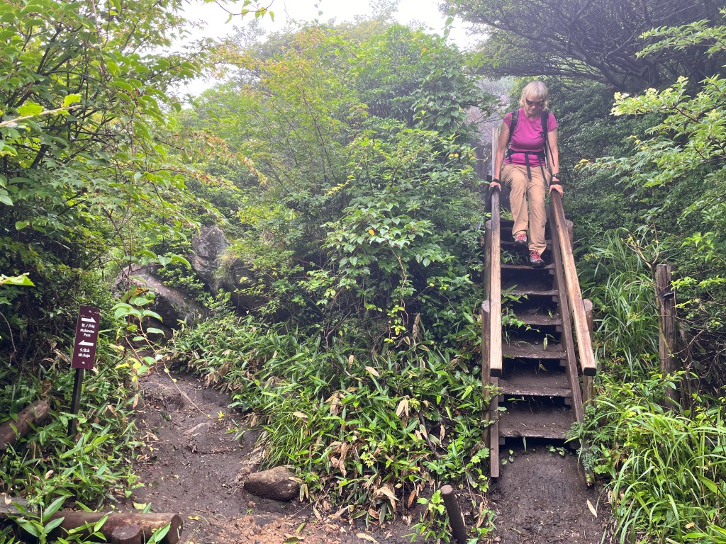
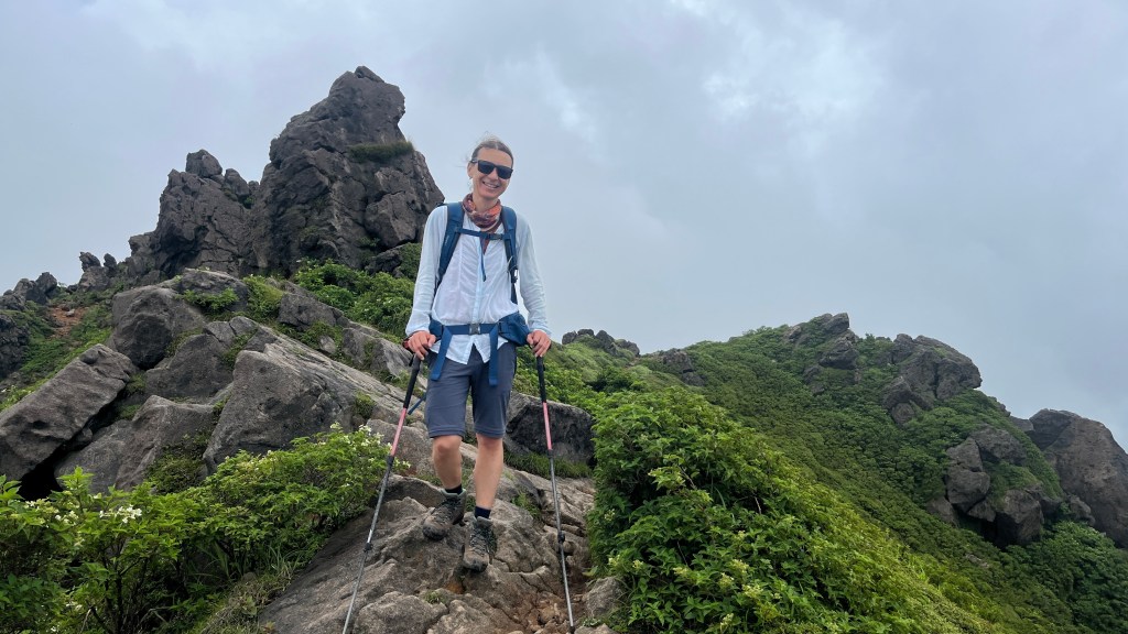
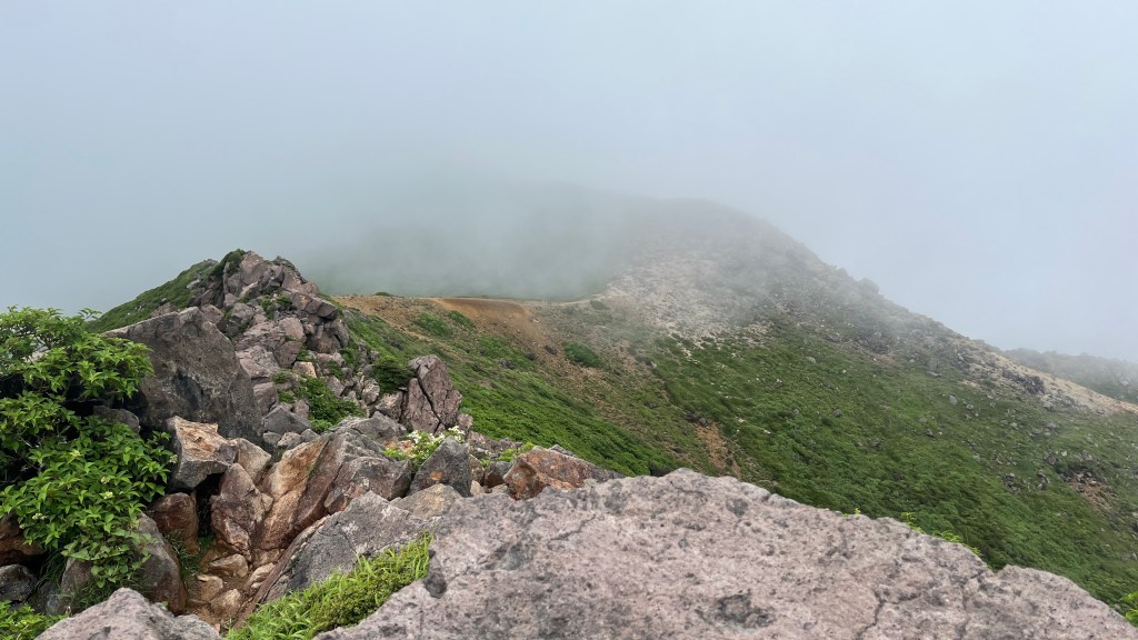
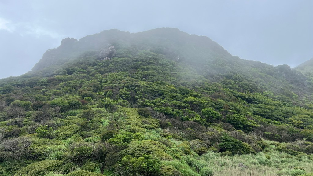
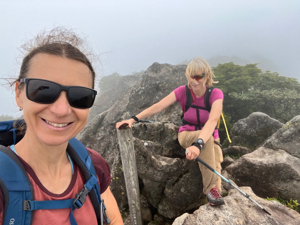
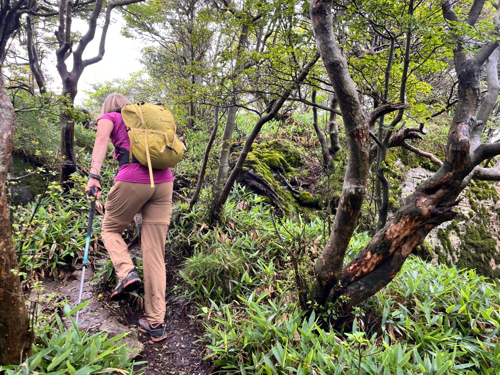
We started hiking at 10:03 AM. The sound of cicadas at the beginning was both exotic and deafening. After the first kilometer, the trail changed from concrete to dirt, which was much nicer. In a few places, we encountered short ladders. The day was warm, misty, and had an enchanting atmosphere.
The afternoon forecast no longer predicted thunderstorms! We had 5.5 hours to be back at the bus stop. With the temperature perfect, we rushed forward. The trail was well-made and well-marked, though wet and muddy in some areas. Along the way, we encountered six people descending with large backpacks, clearly multi-day backpackers.
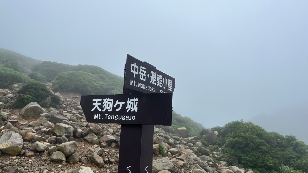
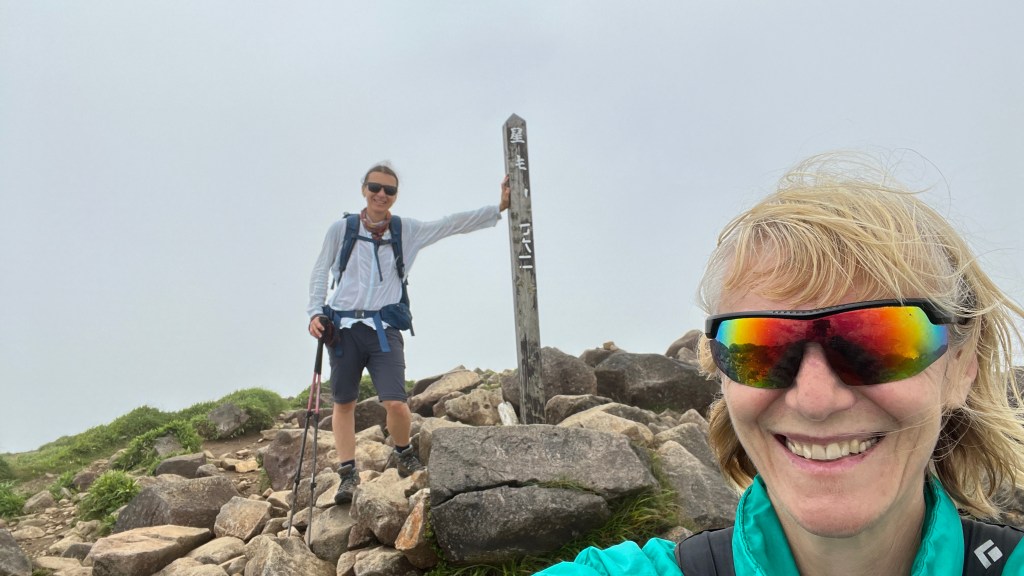
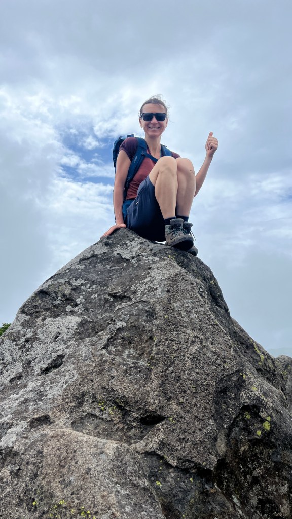
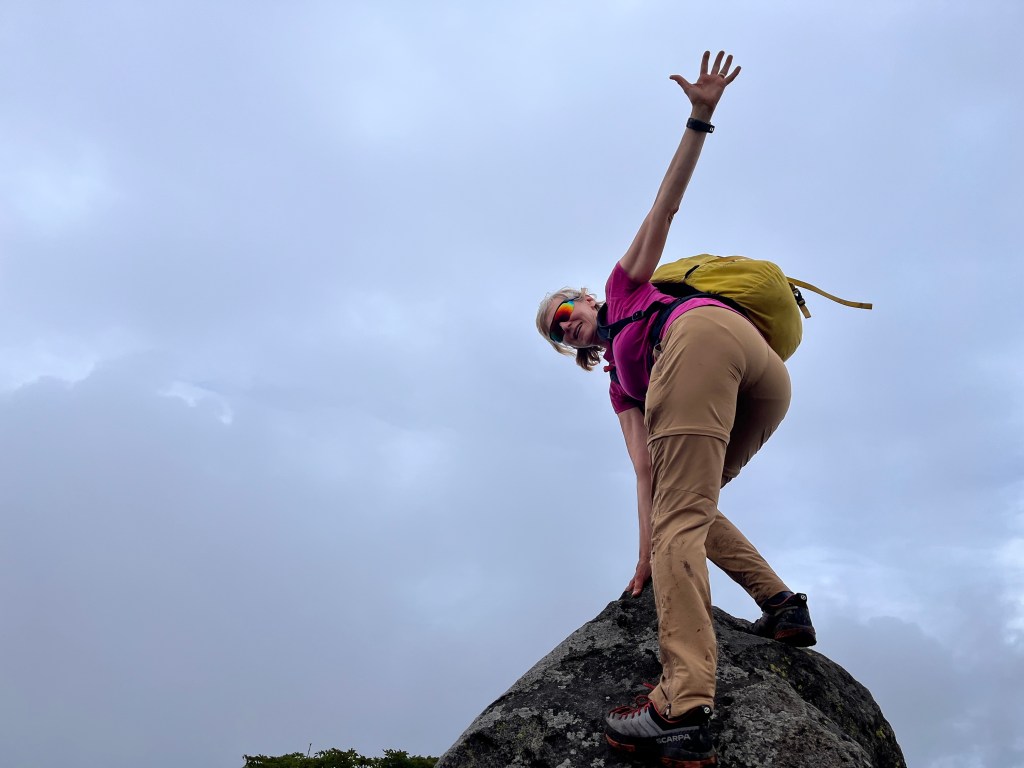
Our hike was mystical. We reached the peak in 1 hour and 50 minutes, though visibility was limited. Afterward, we had time to hike to the adjacent Mount Tengugayo and then Mount Kuju, a stratovolcano and one of the 100 Famous Japanese Mountains.


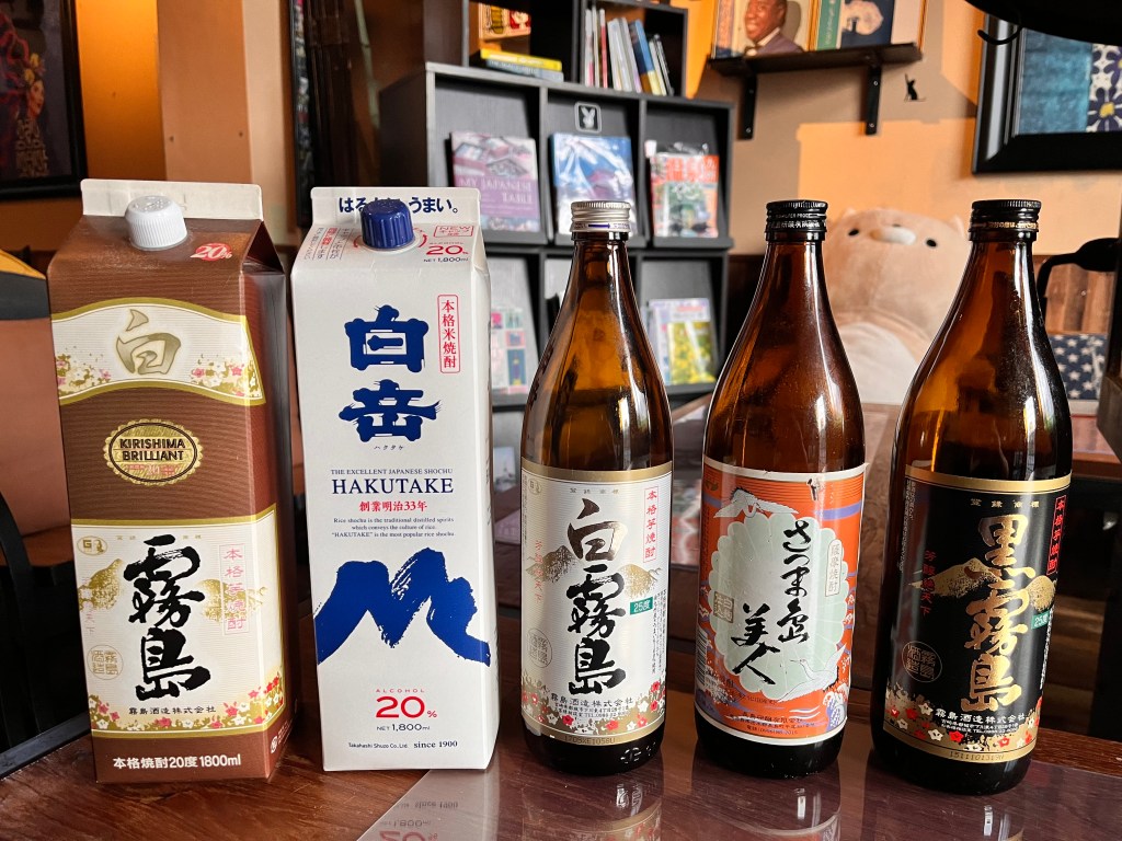
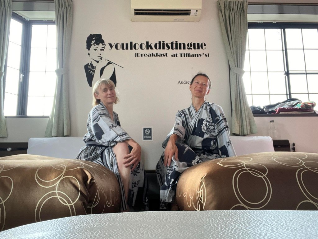
In the end, we even had time to hike or run Mount Hossho—the hardest of all the peaks. We made it back to the bus stop by 3:00 PM, giving us half an hour before the bus arrived. Back at the hotel, we celebrated by tasting five different sakes.
Statistics
- Distance: 12 km
- Elevation gain: 730m
- Time: 5hrs
